

Site Planning Courses
- AIA CES
- AICP CM


- AIA CES
- AICP CM
- SACPLAN CPD

- AIA CES
- AICP CM
- SACPLAN CPD

- AIA CES
- AICP CM
- SACPLAN CPD


- AICP CM
- SACPLAN CPD

- AICP CM
- CNU-A
- SACPLAN CPD
Top Site Planning Instructors


Master Urban Planning Skills With A Planetizen Courses Subscription.
Try Free CoursesHigh quality video lessons developed by experts.
Complete course work to receive a certificate from Planetizen.
Test your comprehension with course quizzes.
Access reading lists, articles, and other materials prepared by instructors.
All Site Planning Courses
Reinventing Malls: Planning Alchemy—Turning Gray Fields Into Gold
This course explores the need and opportunity to reinvent aging mall sites into vibrant, inclusive, and economically valuable centers for 21st-century communities.
Decking Highways: Reconnecting Communities
This course guides communities through the highway decking process from initial visioning through planning and implementation by exploring key motivations such as community goals, equity considerations, and technical challenges.
Green Infrastructure
This course defines green infrastructure, highlights its types and benefits, discusses monetary valuation and financing, and explores its role in addressing climate change, equity, and technological change.
How to Scope for Plan Implementation
Learn hands-on steps and procedures for creating a well-scoped and funding-ready planning study.
Roadways for People, Part 1
Using Portland's I-5 Rose Quarter Improvement Project as a central case study, Lynn Peterson and co-instructor Elizabeth Doerr explore why and how we need a more inclusive, people-centered transportation planning process.
Planning Commissioner Training
The new "Planning Commissioner Training" series offers citizen planners a chance to learn the tools to make a positive impact in their communities (available as a separate subscription).
The 21st Century Comprehensive Plan
Uncover the emerging and valuable qualities of the 21st century comprehensive plan that can be used to define visions for the future, including robust community engagement, crosscutting themes, and an accountable implementation program.
Landscape Design for Social Sustainability, Part 2
Continue exploring how designers can create built environments that foster vibrant, engaged communities through contemporary theories and case study examples around social sustainability in landscape design.
Landscape Design for Social Sustainability, Part 1
Discover how and why the built environment succeeds or fails at supporting thriving, diverse communities, and how designers can create mechanisms that allow communities to enjoy and improve their environments to suit their needs and desires.
History of U.S. Landscape Architecture, Part 2
Picking up in 1970, this course explores how the role and uses of public parks changed and how the role of the landscape architect expanded to that of advocate, facilitator, and teacher in the late 20th century and the era of climate change.
History of U.S. Landscape Architecture, Part 1
Kristin Faurest explores the history of the profession of landscape architecture from its origins through the 1960s, providing a vibrant global context of how humankind has shaped its landscape over the ages.
Interpreting Places and Spaces
Interpretive media can dramatically enhance people's experience of place. Learn how to develop and execute a plan that brings the stories tied to places to life.
Suburban Remix: Creating the Next Generation of Urban Places
The economic, demographic, and technological forces reshaping suburbs are under-reported and misunderstood. Learn how suburbs can manage change while enhancing livability, economic opportunity, and fiscal responsibility.
Introduction to Transit Oriented Development
Few terms are as common in the discussion of city and regional planning in the 21st century as transit oriented development (TOD)—the planning and designing of high-demand land uses at or near highly efficient modes of transportation.
Zoning for Incremental Development
Zoning codes can be crafted to lower the barriers to neighborhood-scale development and infill housing by providing specific tools for more equitable and affordable development.
Right-Sizing Zoning for Better Outcomes
Using elements of the built environment that contribute to a community’s unique sense of place and examples from across the United States, this course explores how to realign zoning with the goals and policies adopted in community plans.
The Elements of Citymaking: Design, Policy, and Finance
Examine the theory of city-making at various scales, ranging from a development site at the smallest scale to the largest urban regions.
Accessory Dwelling Units: Understanding America’s Newest Housing Typology
Explore the latest ADU policy developments from leading American cities, key challenges and opportunities for increasing or limiting ADU production, first-hand examples, and best practices in ADU affordability programs.
Solving Coverage and Location-Allocation Problems
Location-allocation problems involve locating supply sites and simultaneously allocating demand to those sites so the entire system is optimized. With this course, you will learn the basic principles of the coverage and location-allocation problems and be able to solve them using LINGO software and map the results in QGIS.
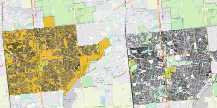
Area-Based Location Optimization: Urban Green Space Selection
By the end of this course you will understand the basic principles of area-based location optimization and be able to solve the knapsack, threshold, and shape problems using LINGO software. The course also shows how to map the results of these skills in QGIS.
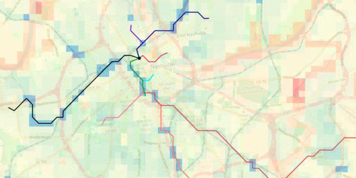
Suitability Analysis and Linear Optimization: Siting a New Transit Line
This course applies suitability analysis techniques and least-cost path analysis—which optimizes routes on linear features—to planning for and siting a new transit line.