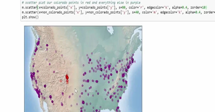
plot map of United States creating in python for urban planning course

Python Geospatial Analysis and Mapping

Learn how to use Python to work with urban spatial data.

  • Preview Course PREVIEW

Course Info

  • Duration 7 video lessons (65 Mins)
  • Published Published
    2018
  • 4.13
Play Video

Preview Course Preview Course

Browse Course Chapters

  • Chapter Locked
    1.
    Introduction
    Chapter Duration 2 mins
  • Chapter Locked
    2.
    GIS Review
    Chapter Duration 7 mins
  • Chapter Locked
    3.
    Simple Spatial Analysis
    Chapter Duration 10 mins
  • Chapter Locked
    4.
    Simple Spatial Analysis, Part 2
    Chapter Duration 13 mins
  • Chapter Locked
    5.
    Projecting Spatial Data
    Chapter Duration 14 mins
  • Chapter Locked
    6.
    Mapping Spatial Data with Basemap
    Chapter Duration 15 mins
  • Chapter Locked
    7.
    Wrap-Up
    Chapter Duration 1 min

Course Description

In this course we will learn how to use Python to work with urban spatial data. We will load shapefiles, conduct simple spatial analyses, and map our spatial data.

Learn these skills

  • Data Analysis
  • Data Visualization
  • Mapping
  • Site Planning
  • Technology

AICP CM

This course is approved for 1 AICP CM credit.

SACPLAN CPD

This course is approved for 1 SACPLAN CPD point.

Meet Your Instructor

Geoff Boeing

Geoff Boeing

Geoff Boeing has a Ph.D. in City and Regional Planning from the University of California, Berkeley.

Meet Instructor

Master Urban Planning Skills With A Planetizen Courses Subscription.

Try Free Courses
Computer

High quality video lessons developed by experts.

Analytics

Complete course work to receive a certificate from Planetizen.

Certificate

Test your comprehension with course quizzes.

Cloud

Access reading lists, articles, and other materials prepared by instructors.