

Modeling & Simulation Courses

- AIA CES
- AICP CM
- CNU-A
- SACPLAN CPD

- AIA CES
- AICP CM
- CNU-A
- SACPLAN CPD
- AICP CM
- SACPLAN CPD

- AIA CES
- AICP CM
- SACPLAN CPD

- AIA CES
- AICP CM
- CNU-A
- SACPLAN CPD

- AIA CES
- AICP CM
- CNU-A
- SACPLAN CPD


- AIA CES
- AICP CM


Top Modeling & Simulation Instructors


Master Urban Planning Skills With A Planetizen Courses Subscription.
Try Free CoursesHigh quality video lessons developed by experts.
Complete course work to receive a certificate from Planetizen.
Test your comprehension with course quizzes.
Access reading lists, articles, and other materials prepared by instructors.
All Modeling & Simulation Courses
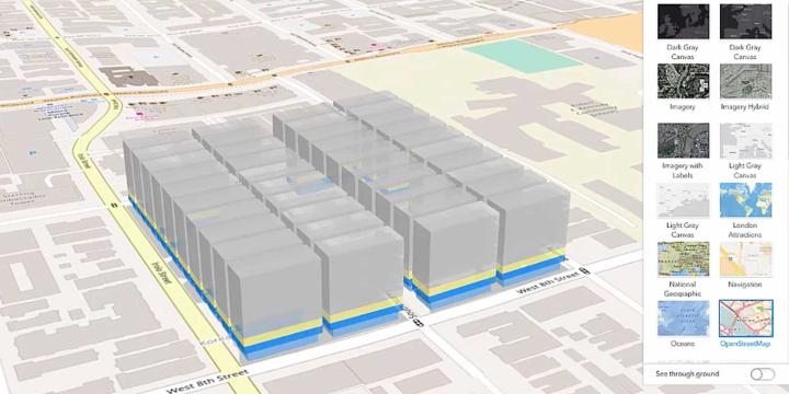
Introduction to GIS, Part 1
Learn how to navigate the ArcGIS Pro interface, understand the basics of map projections, and grasp essential map design principles. By the end of this session, you will have a solid foundation for further GIS exploration.
Navigating the Ethical Landscape for AI in Urban Planning
Uncover some of the largest ethical issues related to using AI in urban planning and the steps cities around the world are taking to ensure fairness, honesty, and accountability as this revolutionary technology becomes more embedded in the modern world.
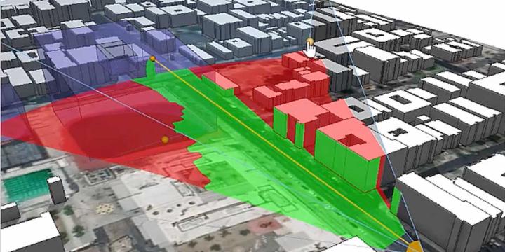
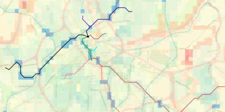
Suitability Analysis and Linear Optimization: Siting a New Transit Line
This course applies suitability analysis techniques and least-cost path analysis—which optimizes routes on linear features—to planning for and siting a new transit line.
Location Optimization
This course introduces the basic principles of location optimization models and provides a hands-on tutorial on point-based location optimization using QGIS and LINGO.
Introduction to Urban Informatics
This course discusses how the field of urban informatics works. You will also learn about the technologies and concepts influencing Urban Informatics, including "Big Data," machine learning, visualization, and data-driven decision making.
Planning Commissioner Training
The new "Planning Commissioner Training" series offers citizen planners a chance to learn the tools to make a positive impact in their communities (available as a separate subscription).
Transportation Planning: Travel Behavior Regulations, Pricing, and Programs
This course reviews the efficacy of regulatory strategies (such as prohibitions and mandates), pricing strategies (such as peak period pricing), and education and information strategies (such as real-time ride-hailing apps).
Transportation Planning: Travel Behavior Principles and Modelling Approaches
This course provides an overview and critique of the four-step model used in transportation planning. By the end of this course, viewers will be able to conceptualize how transportation models can address contemporary problems in transportation planning, such as transit-oriented development.
Virtual Reality for Planners 4: Refining the End User Experience
Creating a VR experience is one thing, but managing its use at public events and integrating it into the urban design workflow is an extra, separate step. This course considers the bigger picture and covers a few ways to fine-tune the user’s experience for maximum success.
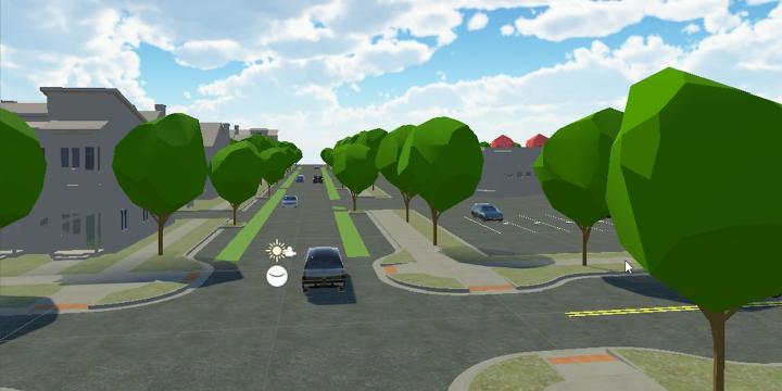
Virtual Reality for Planners 3: Working with Unity
This course provides a high-level overview of the process involved in creating a virtual reality application and teaches viewers how to assemble a virtual reality application from scratch using Unity how to make the process as successful as possible.
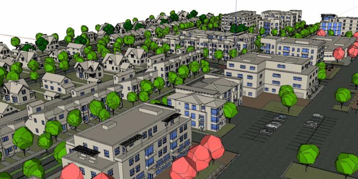
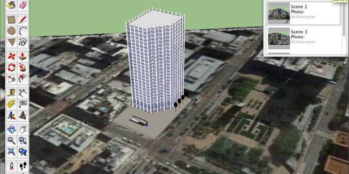
Virtual Reality for Planners 2: Modeling in SketchUp
This course provides a step-by-step SketchUp tutorial and teaches users how to create content appropriate for a virtual reality environment. Viewers will learn how to optimize the performance of their software and ensure success in the next steps of the process, including final model export to Unity.
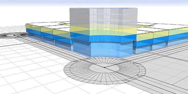
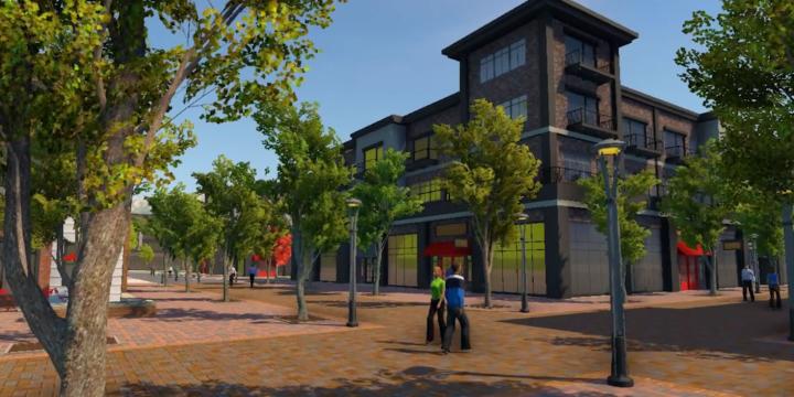
Virtual Reality for Planners 1: Introduction
Virtual reality presents urban planners with a unique tool to create immersive virtual experiences that can inform visioning processes, design decision-making, and community engagement. Learn about the evolution of virtual reality technology, its key vocabulary and logistics, the benefits of virtual reality over traditional media, and what the future of public engagement may hold.
CityEngine for Planners 4: Sharing Your Work
Learn about the range of options for sharing your work, from web viewers to a simple VR experience.
CityEngine for Planners 3: Integration and GIS
Learn how to import real-world data from satellite imagery and terrain to GIS data.
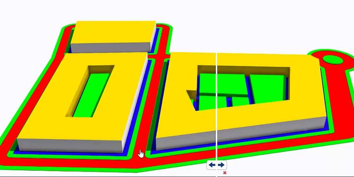
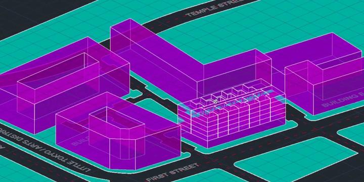
CityEngine for Planners 2: Coding in Computer Generated Architecture (CGA) and Exporting
The second course of the City Engine for Planners track dives into coding in Esri CityEngine’s proprietary Computer Generated Architecture (CGA) code.
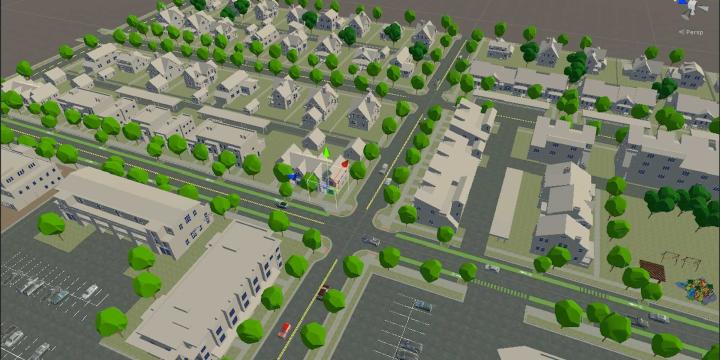
CityEngine for Planners 1: Introduction
This course is designed for beginners seeking an introduction to 3D procedural modeling and CityEngine software.
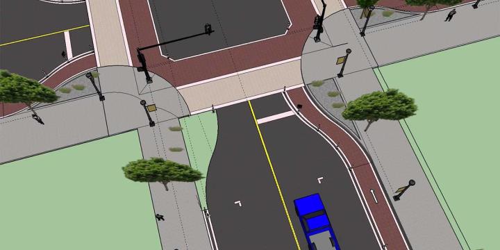
Urban Design for Planners 6: Streetscape Design
Learn how to identify thoroughfares where traffic calming is a high priority, identify desired thoroughfare dimensions based on urban context, and redesign an existing thoroughfare.
Urban Design for Planners 5: Density
Emily Talen, PhD, FAICP teaches urban design strategies for increasing density in neighborhoods and locating infill development appropriate to the context of specific neighborhoods. Talen also introduces urban design interventions proven to increase density.
Urban Design for Planners 4: Mix and Proximity
Course instructor Emily Talen, PhD, FAICP provides step-by-step instruction on how to use data sets to visualize and map the configuration of mix and density along main commercial corridors and neighborhoods.
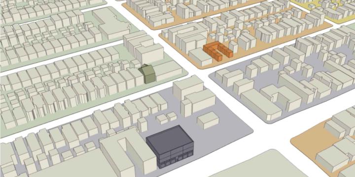
Urban Design for Planners 3: Neighborhoods and Centers
This course demonstrates how to delineate neighborhoods and neighborhood centers in a given area and also illustrates a sample of neighborhood enhancing design improvements.
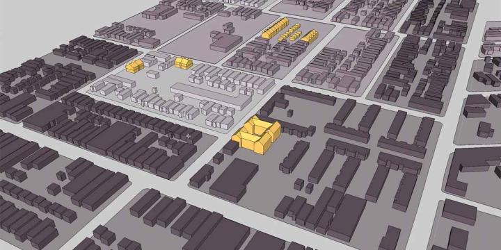
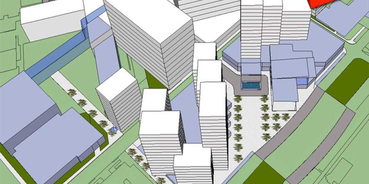
Urban Design for Planners 2: Getting Started with QGIS and SketchUp
Course instructor Emily Talen guides viewers through the process of transferring a shapefile of building outlines into SketchUp and processes of basic manipulation necessary to create a 3D model. Learn how to load data into QGIS, set the coordinate reference system, and change the graphic display of data layers.