

Drawing & Painting Courses


- AICP CM
- CNU-A
- SACPLAN CPD


Top Drawing & Painting Instructors


Master Urban Planning Skills With A Planetizen Courses Subscription.
Try Free CoursesHigh quality video lessons developed by experts.
Complete course work to receive a certificate from Planetizen.
Test your comprehension with course quizzes.
Access reading lists, articles, and other materials prepared by instructors.
All Drawing & Painting Courses
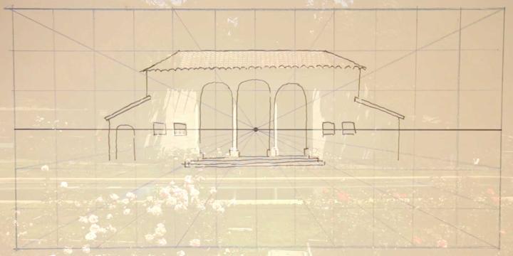
Hand Drawing Master Plans
This course provides an introduction to urban design sketching by teaching how to draw urban design sketches and master plans using a mix of colored and black ink. These drawing techniques can be used to create plans that are detailed and expressive enough to use both in academic and professional presentations.
Conceptual Drawing for Planners
In this course, we will learn effective ways of drawing as a means to communicate design ideas and explore digital tools that support traditional drawing.
Mobile Drawing Apps for Planners
This course explores three affordable mobile drawing apps and how each might facilitate the planner’s creative process.
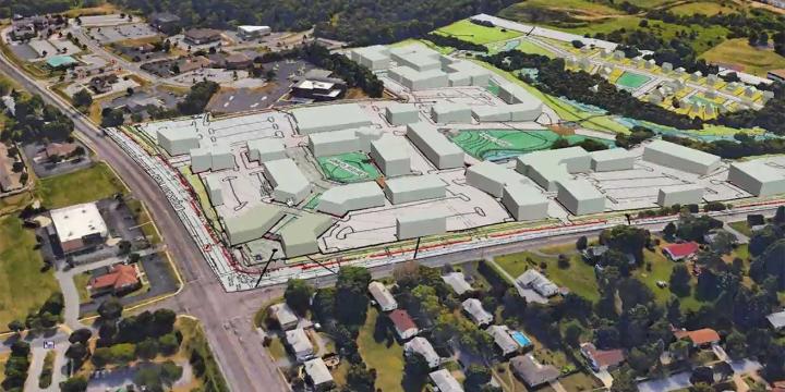
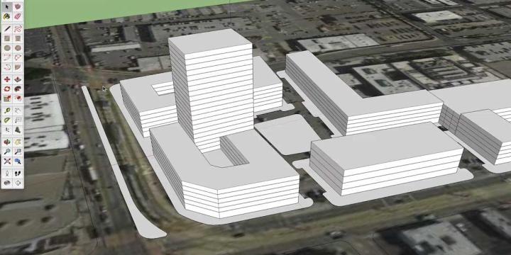
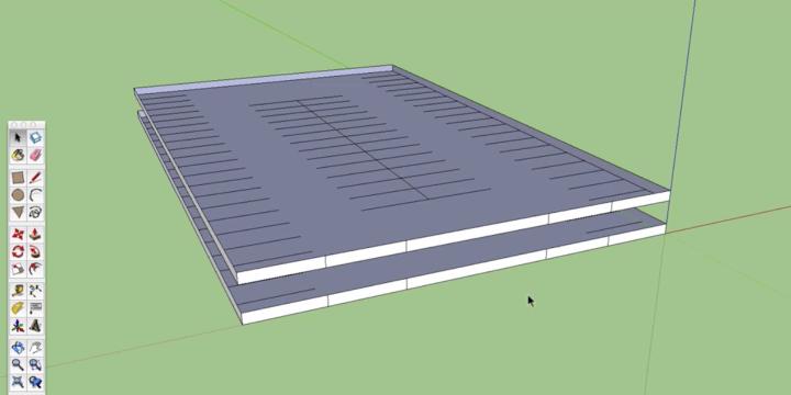
SketchUp 2016 for Planners: Site Planning
This course introduces intermediate SketchUp skills, like the program's geolocation functions, and demonstrates how to create more complex models of planned projects or developments.
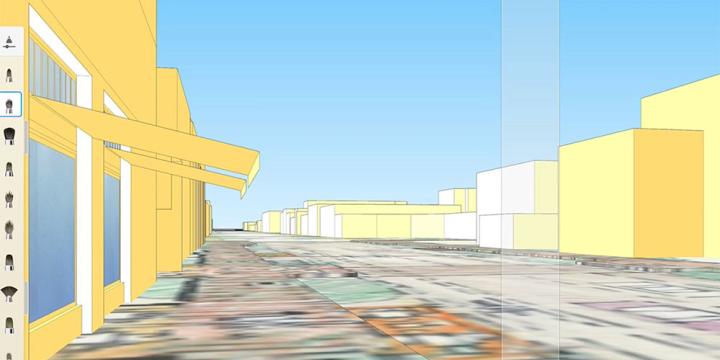
SketchUp 2016 for Planners: Introduction
This course introduces how planners and architects represent three-dimensional objects in two-dimensions, with step-by-step instructions for creating and using simple 3D models.
Planning Commissioner Training
The new "Planning Commissioner Training" series offers citizen planners a chance to learn the tools to make a positive impact in their communities (available as a separate subscription).
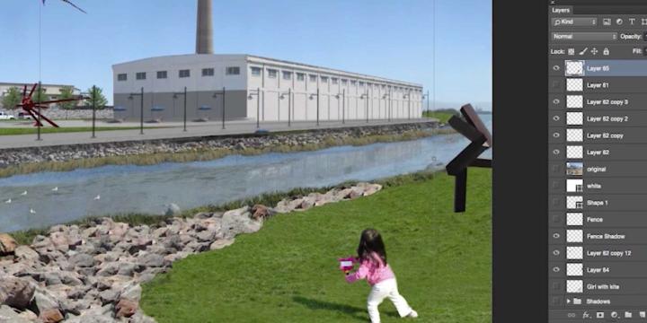
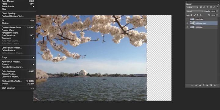
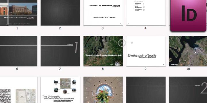
Photoshop CC for Planners 4: Creating Visual Simulations
In this course, we'll use the skills and techniques covered in the previous three Photoshop CC courses to create an advanced visual simulation of a re-imagined public space.
Photoshop CC for Planners 3: Advanced Techniques
This course builds upon the first two courses in the "Photoshop CC for Planners" series. In this installment, we'll cover more advanced functions in the program and start building a digital library, which we'll use in the next course to create a complex visual simulation.
Photoshop CC for Planners 2: More Tools and Techniques
This course builds upon the first Photoshop CC course, giving you step-by-step instructions on how to use more complex tools and techniques in the program.
Photoshop CC for Planners 1: Basic Functions
Adobe Photoshop CC is widely recognized among design professionals as the premier image editing software, with a number of useful applications for urban planning. This course gives you a step-by-step introduction to the basic tools of Photoshop CC.
Drawing in the Landscape: Water and Oil
This is the fourth and final course in the Drawing series. In this course we inquire into the nature of observing and representing color works in transitive environments, building upon the initial sketch, and beginning water color and oil technique.
Drawing in the Landscape: Painting Color
This is the third course in the Drawing series. In this course we inquire into the nature of observing and representing color works in transitive environments, building upon the initial sketch, and beginning watercolor technique.
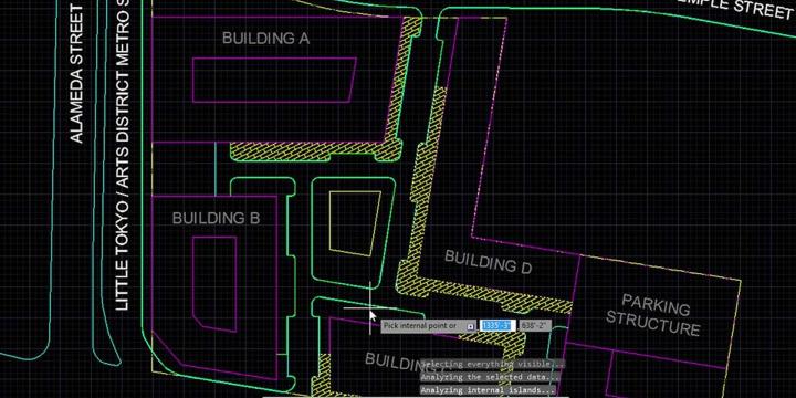
AutoCAD for 3D Modeling
Most planners and designers don't use just one drawing or visualization program. In this course you'll learn how to create 3D drawings in AutoCAD and how to use AutoCAD in concert with other programs, such as Adobe Illustrator and Sketchup, to create illustrative plan, section, and perspective views.
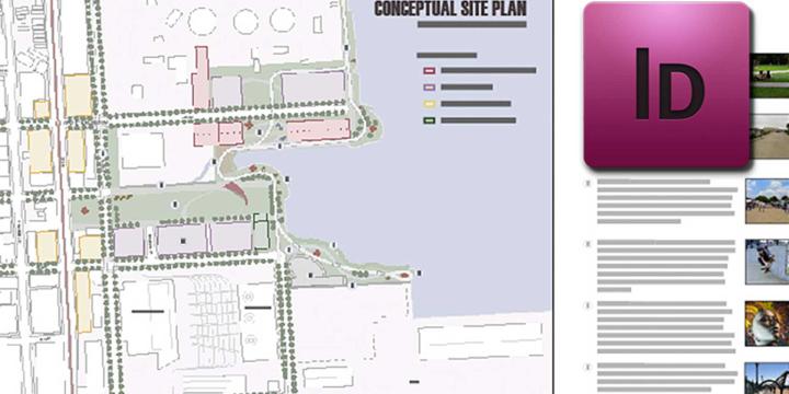
AutoCAD for Site Planning
This course establishes a workflow for an illustrative site plan, including how to represent existing conditions and create detailed plans for specific areas within a larger project. Building on AutoCAD 101, learn to draw more complex plans using aerial imagery, photography, and hand-drawn sketches as the base layer.
AutoCAD 101
This course provides an introduction to AutoCAD’s essential functions for first-time users and demonstrates how to create site plans, street sections, and other two-dimensional scaled diagrams.
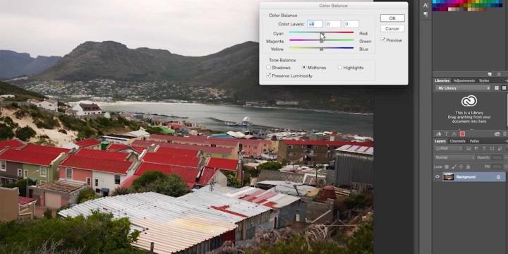
Photoshop CS5 for Planners - Introduction
Design professionals widely recognize Adobe Photoshop as the premier image editing software, with many valuable applications for urban planning. This course gives planners a step-by-step introduction to the basic tools of Photoshop CS5.
Photoshop CS5 for Planners - Intermediate
Design professionals widely recognize Adobe Photoshop as the premier image editing software, with many valuable applications for urban planning.This course builds upon the Introduction to Photoshop course, offering step-by-step instructions on more of the helpful tools that come with Photoshop CS5.
Photoshop CS5 for Planners - Advanced
Adobe Photoshop is widely recognized among design professionals as the premier image editing software, with a great many valuable applications for urban planning. This course builds upon the Introduction to Photoshop and Intermediate Photoshop Courses, giving you step-by-step instructions on some of the advanced tools that come with Photoshop CS5.
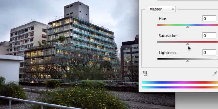
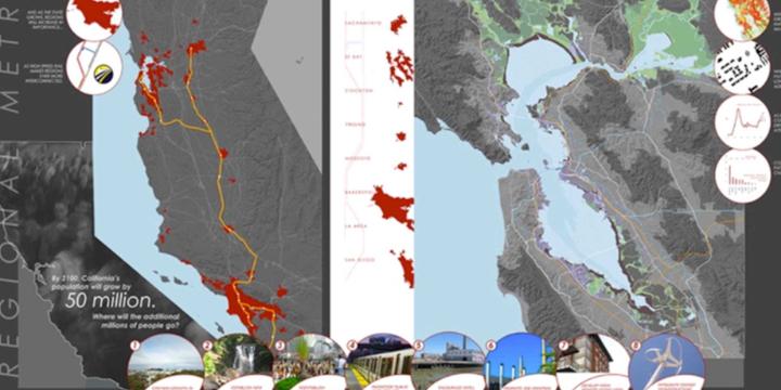
Illustrator for Planners - Introduction
Adobe Illustrator is widely recognized among design professionals as the premier vector drawing software, with many valuable design and mapping applications for urban planning. This course gives you a step-by-step introduction to the basic tools of Illustrator CS5.
Illustrator for Planners - Intermediate
Adobe Illustrator is widely recognized among design professionals as the premier vector drawing software, with many valuable design and mapping applications for urban planning. This course builds upon the Introduction to Illustrator course, giving you step-by-step instructions on some of the more complex tools that come with Illustrator CS5.
Illustrator for Planners - Advanced
Adobe Illustrator is widely recognized among design professionals as the premier vector drawing software, with many valuable design and mapping applications for urban planning. This course builds upon the Intermediate Illustrator for Planners course, going into more detail on how the program can be used for logo design, map making and other uses.