

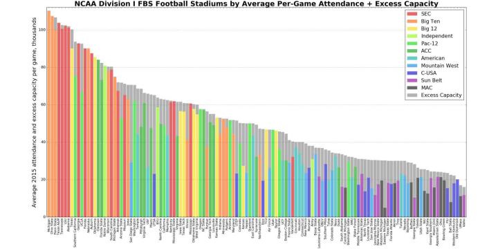
Data Visualization Courses

- AIA CES
- AICP CM
- CNU-A
- SACPLAN CPD


- AIA CES
- AICP CM


- AIA CES
- AICP CM
- CNU-A
- SACPLAN CPD


- AICP CM
- CNU-A
- SACPLAN CPD
Top Data Visualization Instructors


Master Urban Planning Skills With A Planetizen Courses Subscription.
Try Free CoursesHigh quality video lessons developed by experts.
Complete course work to receive a certificate from Planetizen.
Test your comprehension with course quizzes.
Access reading lists, articles, and other materials prepared by instructors.
All Data Visualization Courses
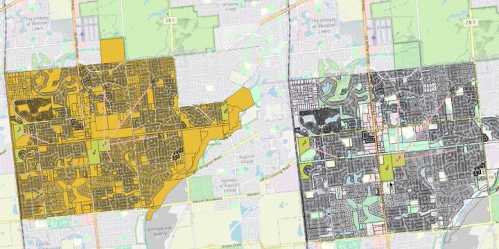
Introduction to GIS, Part 2
Take the next step into the world of Geographic Information Systems (GIS) and ArcGIS Pro with an overview of navigation, map projections, and essential map design principles.
Demystifying AI: Terminology, Tools, and Techniques for Urban Planners
Understanding the basics of artificial intelligence, or AI, is increasingly important for urban planners. Learn the capabilities, limitations, and language of emerging technologies that utilize AI methods.
Interpreting Places and Spaces
Interpretive media can dramatically enhance people's experience of place. Learn how to develop and execute a plan that brings the stories tied to places to life.
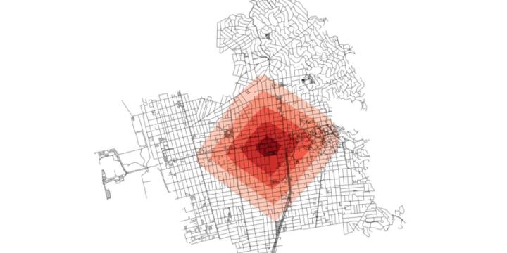
Solving Coverage and Location-Allocation Problems
Location-allocation problems involve locating supply sites and simultaneously allocating demand to those sites so the entire system is optimized. With this course, you will learn the basic principles of the coverage and location-allocation problems and be able to solve them using LINGO software and map the results in QGIS.
Location Optimization
This course introduces the basic principles of location optimization models and provides a hands-on tutorial on point-based location optimization using QGIS and LINGO.
Planning Commissioner Training
The new "Planning Commissioner Training" series offers citizen planners a chance to learn the tools to make a positive impact in their communities (available as a separate subscription).
Introduction to Urban Informatics
This course discusses how the field of urban informatics works. You will also learn about the technologies and concepts influencing Urban Informatics, including "Big Data," machine learning, visualization, and data-driven decision making.
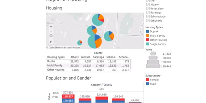
Tableau for Planners 3: Dashboards
This course will expand on the Tableau for Planners: Introduction and Worksheets. Students will have prior experience will building basic tables and will start to use Tableau to build multi-worksheet dashboards with interactive controls like filtering. Students will also learn how to make the data used in their visualization accessible to the public. At the end of the course, we will demonstrate how to publish the work to Tableau Public and embed dashboards on websites and in social media.
Tableau for Planners 2: Worksheets
This course will expand on the Tableau for Planners: Introduction course. This course continues to train the planner on how to build effective worksheets for planners. This course will introduce general principles of data visualization and orient the user with the Tableau platform, with a primary focus on Tableau Public, a free version of Tableau's desktop software.
Tableau for Planners: Introduction
This course will introduce general principles of data visualization and orient the user with the Tableau platform. Learn how to connect to a data set in Microsoft Excel, understand general principles of a relational database, and start building basic worksheets and dashboards.
Python Street Network Analysis
In this course we will learn how to use Python to conduct street network analysis with the OSMnx package.
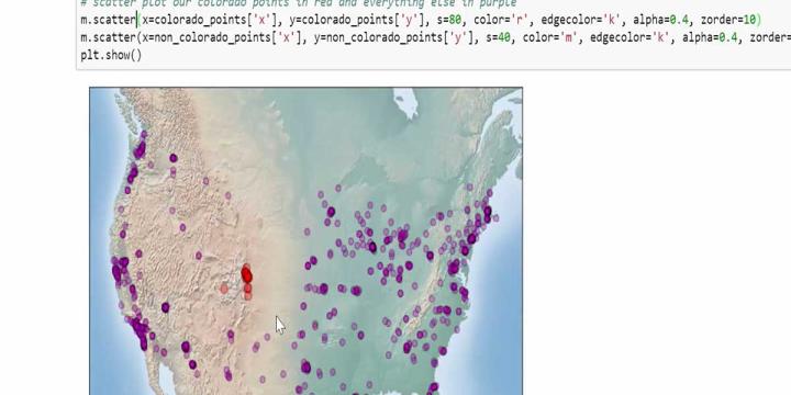
Python Geospatial Analysis and Mapping
Learn how to use Python to work with urban spatial data.
Python Data Analysis and Visualization
In this course we will learn how to use Python to conduct basic data analyses and create attractive visualizations.
Urban Design for Planners 5: Density
Emily Talen, PhD, FAICP teaches urban design strategies for increasing density in neighborhoods and locating infill development appropriate to the context of specific neighborhoods. Talen also introduces urban design interventions proven to increase density.
Urban Design for Planners 4: Mix and Proximity
Course instructor Emily Talen, PhD, FAICP provides step-by-step instruction on how to use data sets to visualize and map the configuration of mix and density along main commercial corridors and neighborhoods.
Urban Design for Planners 3: Neighborhoods and Centers
This course demonstrates how to delineate neighborhoods and neighborhood centers in a given area and also illustrates a sample of neighborhood enhancing design improvements.
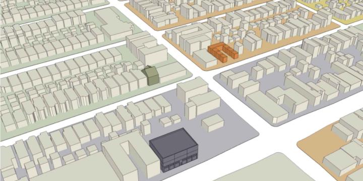
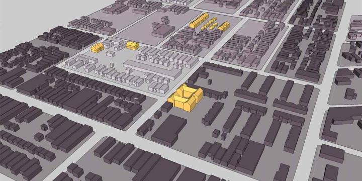
Urban Design for Planners 2: Getting Started with QGIS and SketchUp
Course instructor Emily Talen guides viewers through the process of transferring a shapefile of building outlines into SketchUp and processes of basic manipulation necessary to create a 3D model. Learn how to load data into QGIS, set the coordinate reference system, and change the graphic display of data layers.
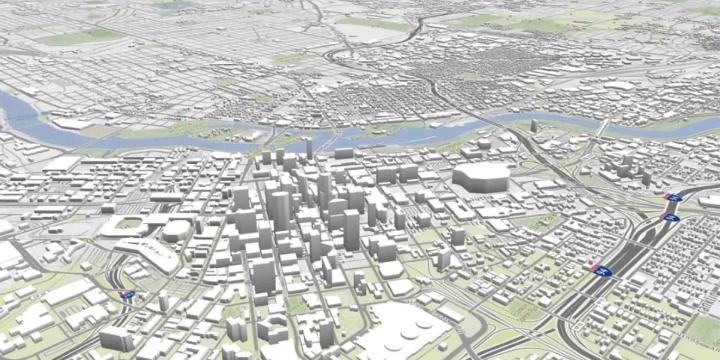
Urban Design for Planners 1: Software Tools
Urban planners and urban designers are interested in building places that embody beauty and hope. In this course, Emily Talen, PhD, FAICP, presents free urban design software tools that can help urban planners and urban designers visualize changes in the built environment to support the overarching goal of creating better places.
Introduction to the UrbanSim Cloud Platform
At the end of this course, participants will be acquainted with the UrbanSim forecasting methodology, understanding the features available in the UrbanSim Cloud Platform and the basics of an UrbanSim model at the Census block level.
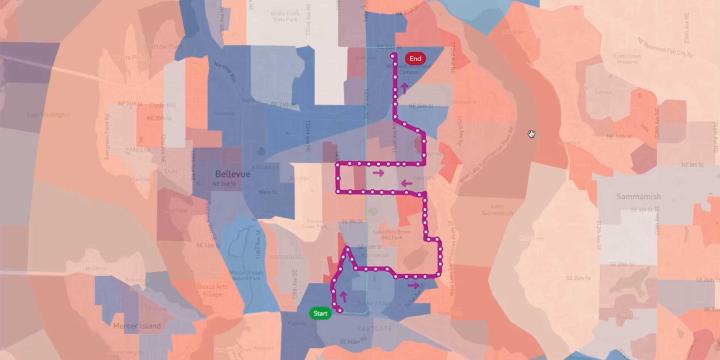
Transit Service Design 101
In this course, we will review the principles of transit service design, how resources are allocated and accounted for, and using the Remix software platform, we will design and evaluate a new transit route.
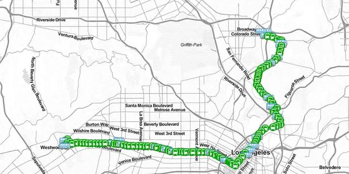
Building a Transit Map Web App
This course examines the entire process of building an interactive, web-based mapping application.