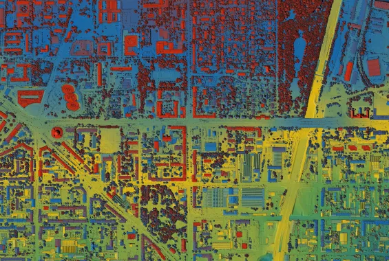
Sloan Campi Introduction to ARCGIS part 2 image of areial view of city heat map with saturated colors blue, green, yellow, purple, and red

Introduction to GIS, Part 2

Take the next step into the world of Geographic Information Systems (GIS) and ArcGIS Pro with an overview of navigation, map projections, and essential map design principles.

  • Preview Course PREVIEW

Course Info

  • Duration 7 video lessons (53 Mins)
  • Published Published
    2024
  • Trending Trending
  • 4.75
Play Video

Preview Course Preview Course

Browse Course Chapters

  • Chapter Locked
    1.
    Introduction
    Chapter Duration 1 min
  • Chapter Locked
    2.
    Creating Maps and Layouts
    Chapter Duration 7 mins
  • Chapter Locked
    3.
    Organizing Data
    Chapter Duration 16 mins
  • Chapter Locked
    4.
    Working with Geodatabases
    Chapter Duration 14 mins
  • Chapter Locked
    5.
    Attribution Tables
    Chapter Duration 4 mins
  • Chapter Locked
    6.
    Map Design
    Chapter Duration 7 mins
  • Chapter Locked
    7.
    Conclusion
    Chapter Duration 1 min

What You Will Learn

  • Gain proficiency in creating maps and layouts using ArcGIS Pro.
  • Understand the principles of effective map design and layout composition.
  • Learn to import and explore spatial data from various sources.
  • Understand the use of geodatabases for data management.
  • Develop advanced spatial data handling skills within ArcGIS Pro.
  • Apply best practices for spatial data import and exploration.
  • Enhance your cartographic skills by mastering advanced map design techniques

Course Description

This course will introduce you to the fundamental concepts of GIS and provide an overview of ArcGIS Pro, a powerful GIS software tool. You'll learn how to navigate the ArcGIS Pro interface, understand the basics of map projections, and grasp essential map design principles. By the end of this session, you will have a solid foundation for further GIS exploration.

Learn these skills

  • Data Analysis
  • Data Visualization
  • GIS
  • Mapping
  • ArcGIS

AICP CM

This course is approved for 1 AICP CM credit.

Meet Your Instructor

Sloan Campi

Sloan Campi

Sloan is an innovative and accomplished urban planner, environmental designer, and educator with over a decade of experience in the field. Known for expertise in utilizing data analysis to design sustainable solutions for urban environments, Sloan has navigated the complex landscapes of public and private entities to achieve long-term land-use and transportation goals.

Meet Instructor

Master Urban Planning Skills With A Planetizen Courses Subscription.

Try Free Courses
Computer

High quality video lessons developed by experts.

Analytics

Complete course work to receive a certificate from Planetizen.

Certificate

Test your comprehension with course quizzes.

Cloud

Access reading lists, articles, and other materials prepared by instructors.