Course Info
7 video lessons (46 Mins)
Published
2018Trending
-
4.26
Preview Course
Browse Course Chapters
-
1.Introduction
2 mins
-
2.QGIS: Loading Data and Setting the CRS
2 mins
-
3.QGIS: Selecting and Creating New Layers
6 mins
-
4.QGIS: Creating a Figure-Ground Graphic
10 mins
-
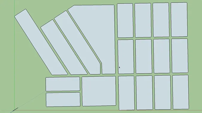
5.From QGIS Shapefile to SketchUp Model
7 mins
-
6.SketchUp: Importing Models
5 mins
-
7.SketchUp: Adding Geolocation
11 mins
What You Will Learn
- How to view and manipulate layers of mapped data in QGIS
- A method for grouping locations according to various sets of criteria in QGIS
- How to calculate distances, analyze proximities, and create figure ground maps using QGIS software
- Best practices for the process of loading data in QGIS, including setting the coordinate reference system (CRS) and changing the graphic display of data layers.
- How to transfer a shapefile of building outlines into SketchUp.
- How to reference geolocational data to SketchUp to view SketchUp models in Google Earth.
Course Description
Building from foundational concepts explored in "Urban Design for Planners 1: Software Tools," this course digs into the functionality of QGIS and SketchUp.
QGIS, an open source Geographic Information System, is an indispensable tool for urban planners and designers. Urban designers use QGIS to view and compare multiple layers of mapped data, group locations according to sets of criteria, calculate distances, analyze proximities, and create figure ground maps.
Course instructor Emily Talen, PhD, FAICP, leads viewers through the process of loading data into QGIS, setting the coordinate reference system (CRS), and changing the graphic display of data layers, introducing a few aesthetic considerations in working with locational data in QGIS.
After a thorough review of essential skills in QGIS, Emily Talen guides viewers through the process of transferring a shapefile of building outlines into SketchUp, a free software tool used to render 3D visualizations of buildings, neighborhoods, and even cities. Students in this course will learn how to reference geolocational data to SketchUp to view SketchUp models in Google Earth.
Learn these skills
- 3D Modeling
- Data Visualization
- GIS
- Mapping
- Modeling & Simulation
- Technology
- Urban Design
- Trimble SketchUp
- QGIS
AICP CM
This course is approved for .75 AICP CM credit.
AIA CES
This is 1 LU.CNU-A
This course is approved for 1 CNU-A credit.
SACPLAN CPD
This course is approved for 1 SACPLAN CPD point.


