

GIS Courses


- AIA CES
- AICP CM
- CNU-A
- SACPLAN CPD

- AIA CES
- AICP CM
- CNU-A
- SACPLAN CPD


- AICP CM
- CNU-A
- SACPLAN CPD
- AICP CM
- CNU-A
- SACPLAN CPD


Top GIS Instructors


Master Urban Planning Skills With A Planetizen Courses Subscription.
Try Free CoursesHigh quality video lessons developed by experts.
Complete course work to receive a certificate from Planetizen.
Test your comprehension with course quizzes.
Access reading lists, articles, and other materials prepared by instructors.
All GIS Courses
Introduction to GIS, Part 2
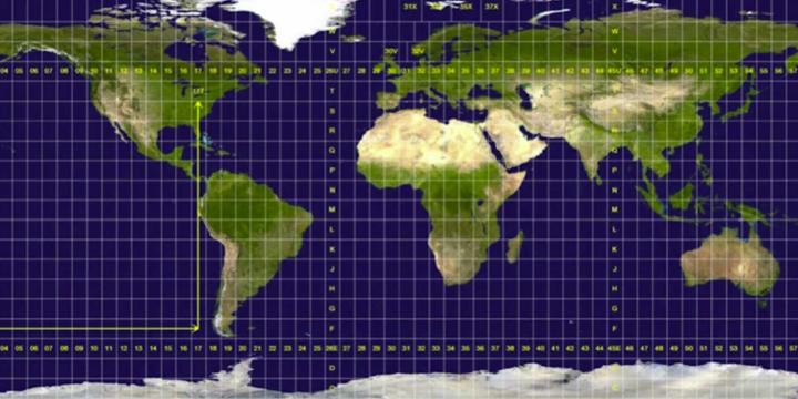
Take the next step into the world of Geographic Information Systems (GIS) and ArcGIS Pro with an overview of navigation, map projections, and essential map design principles.
Introduction to GIS, Part 1
Learn how to navigate the ArcGIS Pro interface, understand the basics of map projections, and grasp essential map design principles. By the end of this session, you will have a solid foundation for further GIS exploration.
Solving Coverage and Location-Allocation Problems
Location-allocation problems involve locating supply sites and simultaneously allocating demand to those sites so the entire system is optimized. With this course, you will learn the basic principles of the coverage and location-allocation problems and be able to solve them using LINGO software and map the results in QGIS.
Location Optimization
This course introduces the basic principles of location optimization models and provides a hands-on tutorial on point-based location optimization using QGIS and LINGO.
Measuring Neighborhood Segregation and Diversity
This course reviews the various ways to measure both segregation and diversity at the neighborhood scale.
Planning Commissioner Training
The new "Planning Commissioner Training" series offers citizen planners a chance to learn the tools to make a positive impact in their communities (available as a separate subscription).
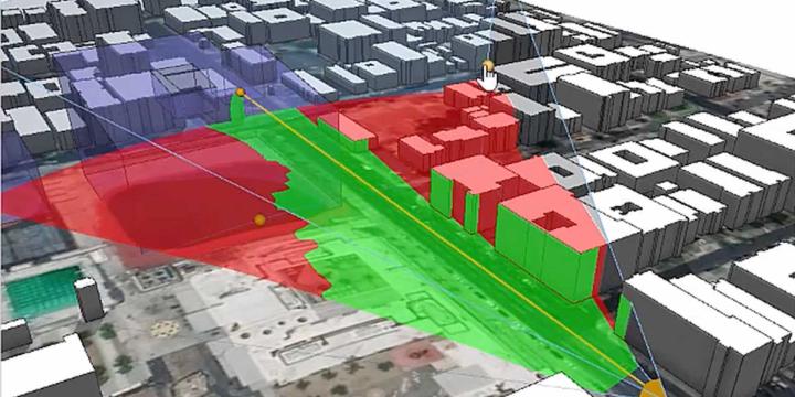
CityEngine for Planners 3: Integration and GIS
Learn how to import real-world data from satellite imagery and terrain to GIS data.
Urban Design for Planners 6: Streetscape Design
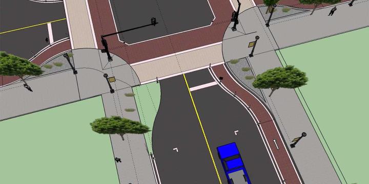
Learn how to identify thoroughfares where traffic calming is a high priority, identify desired thoroughfare dimensions based on urban context, and redesign an existing thoroughfare.
Urban Design for Planners 5: Density
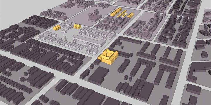
Emily Talen, PhD, FAICP teaches urban design strategies for increasing density in neighborhoods and locating infill development appropriate to the context of specific neighborhoods. Talen also introduces urban design interventions proven to increase density.
Urban Design for Planners 4: Mix and Proximity
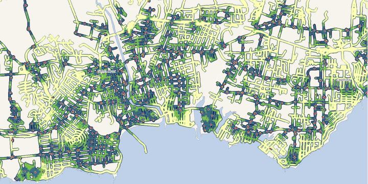
Course instructor Emily Talen, PhD, FAICP provides step-by-step instruction on how to use data sets to visualize and map the configuration of mix and density along main commercial corridors and neighborhoods.
Urban Design for Planners 3: Neighborhoods and Centers
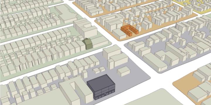
This course demonstrates how to delineate neighborhoods and neighborhood centers in a given area and also illustrates a sample of neighborhood enhancing design improvements.
Urban Design for Planners 2: Getting Started with QGIS and SketchUp
Course instructor Emily Talen guides viewers through the process of transferring a shapefile of building outlines into SketchUp and processes of basic manipulation necessary to create a 3D model. Learn how to load data into QGIS, set the coordinate reference system, and change the graphic display of data layers.
Urban Design for Planners 1: Software Tools
Urban planners and urban designers are interested in building places that embody beauty and hope. In this course, Emily Talen, PhD, FAICP, presents free urban design software tools that can help urban planners and urban designers visualize changes in the built environment to support the overarching goal of creating better places.
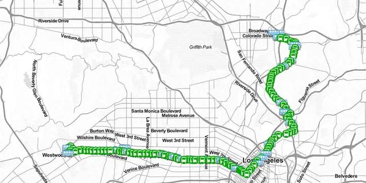
Building a Transit Map Web App
This course examines the entire process of building an interactive, web-based mapping application.
Introduction to WebGIS
This course explains various Internet technologies commonly used to build web-based visualization applications with municipal data.
CartoDB for Planners
In this course, we'll cover the web interface of CartoDB, an innovative online mapping platform. Learn how to setup a basic map, add data from ArcGIS and other sources, and publish your map on the web.
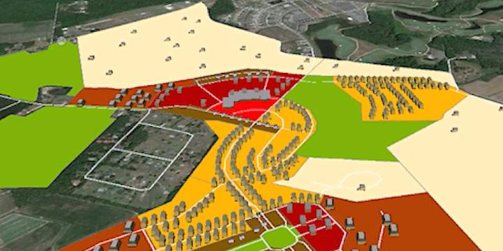
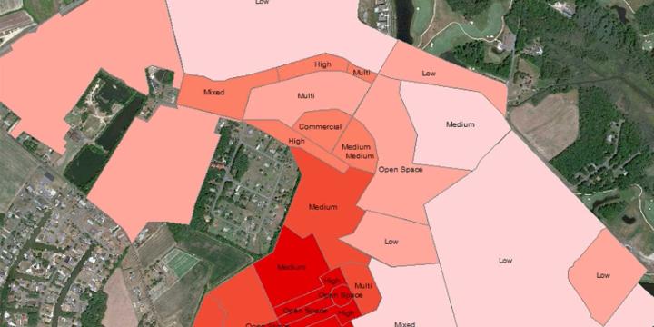
GeoDesign Using CommunityViz: Buildout and Visualization
This second course in the "GeoDesign with CommunityViz" series shows how the CommunityViz extension of ArcGIS can guide the design, and assess the impacts, of a project.
GeoDesign with CommunityViz: Land Use Designer
Learn how the CommunityViz extension of ArcGIS can guide the design of a project and assess the project's impact. This course specifically focuses on a suitability analysis using essential functions and the Land Use Designer wizard.
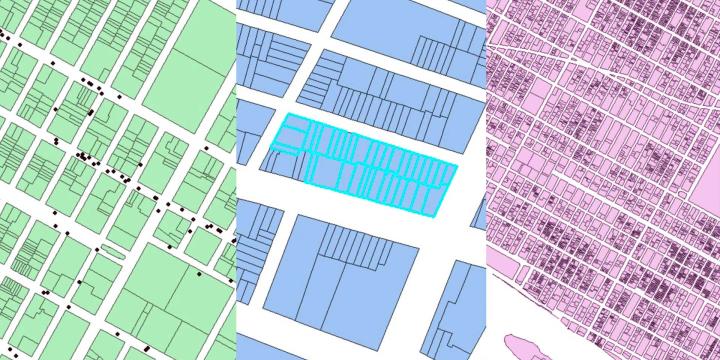
GIS Fundamentals: Geocoding, Geoprocessing, and Online Sharing
This fifth installment of the GIS Fundamentals series provides instruction on how to geocode addresses, the basics of geoprocessing, and the use of ArcGIS Online for collaborative mapping and processing.
GIS Fundamentals: Importing, Selecting, and Managing Data
The fourth installment of the Geographic Information Systems Fundamentals series explains how to configure data sets, including advanced methods for selecting data through spatial and SQL queries, working with relational databases and geodatabases, and importing non-spatial data into ArcGIS.
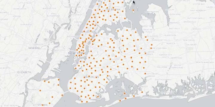
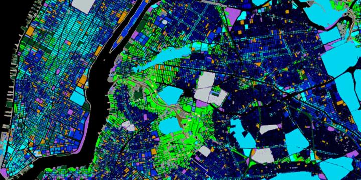
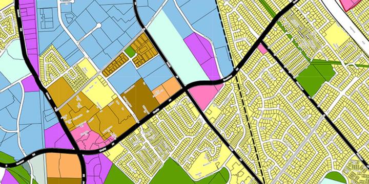
GIS Fundamentals: Thematic Maps
This third GIS Fundamentals course covers the basics of making several kinds of thematic maps, including choropleth, dot density, and proportional symbol maps.