Course Info
7 video lessons (70 Mins)
Published
2018-
4.20
Preview Course
Browse Course Chapters
-
1.Introduction
1 min
-
2.Using the Get Map Data Tool
14 mins
-
3.Importing and Exporting to File Geo Databases
11 mins
-
4.Importing and Exporting to File Geo Databases, Part 2
13 mins
-
5.Using the Shape Creation Tool
12 mins
-
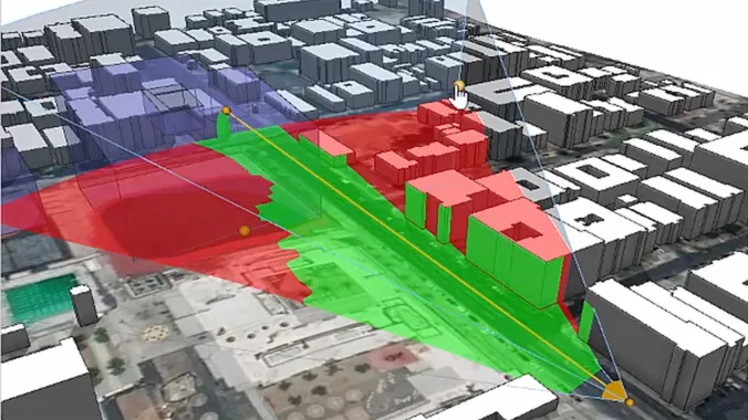
6.Analysis: Reporting and Visibility
16 mins
-
7.Wrap Up
1 min
Course Description
In this course, we build on our work and bring in real-world data from satellite imagery and terrain to GIS data. Learn how to use the Get Map Data tool,
import and export to File GeoDatabases, and integrate existing GIS and 3D models together.
Learn these skills
- 3D Modeling
- GIS
- Mapping
- Modeling & Simulation
- Sustainability
- Technology
- Urban Design
- ESRI CityEngine
AICP CM
This course is approved for 1.25 AICP CM credit.
SACPLAN CPD
This course is approved for 1 SACPLAN CPD point.


