Course Info
9 video lessons (46 Mins)
Published
2018-
3.92
Preview Course
Browse Course Chapters
-
1.Introduction
2 mins
-
2.OpenStreetMap and OSMnx
2 mins
-
3.Downloading Shapefiles with OSMnx
7 mins
-
4.Downloading Street Networks with OSMnx
11 mins
-
5.Downloading Street Networks with OSMnx, Part 2
7 mins
-
6.Street Network Analysis
4 mins
-
7.Routing
3 mins
-
8.Building Footprints
5 mins
-
9.Wrap-Up
1 min
Course Description
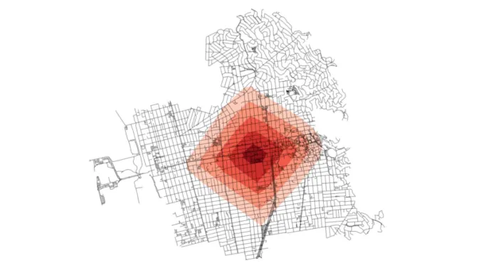
In this course we will learn how to use Python to conduct street network analysis with the OSMnx package. In the previous courses, we explored how to get Python set up on our computers, how to conduct simple data analysis, and how to perform spatial analysis. Now we’ll learn how to automatically download street networks from OpenStreetMap, analyze them, and visualize them.
Learn these skills
- Data Analysis
- Data Visualization
- Mapping
- Technology
- Transportation
- Urban Design
AICP CM
This course is approved for .75 AICP CM credit.
SACPLAN CPD
This course is approved for 1 SACPLAN CPD point.


