

Parks & Recreation Courses

- AICP CM
- CNU-A
- SACPLAN CPD

- AIA CES
- AICP CM
- SACPLAN CPD


- AICP CM

Top Parks & Recreation Instructors


Master Urban Planning Skills With A Planetizen Courses Subscription.
Try Free CoursesHigh quality video lessons developed by experts.
Complete course work to receive a certificate from Planetizen.
Test your comprehension with course quizzes.
Access reading lists, articles, and other materials prepared by instructors.
All Parks & Recreation Courses
Decking Highways: Reconnecting Communities
This course guides communities through the highway decking process from initial visioning through planning and implementation by exploring key motivations such as community goals, equity considerations, and technical challenges.
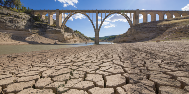
Resilience Planning for Heat and Drought Events
Learn how cities can prepare their infrastructure and social services for heat waves and droughts in a warming world.
Designing the Built Environment for People With Autism Spectrum Disorder
This course covers how autistic people experience urban and natural environments and the design techniques used to improve their experience.
Design for Peace and Democracy
Explore how our designed environments can promote and support peace and democracy using historic examples of how the built environment – including parks, squares and streets – can be an instrument of oppression and serve as forums for both tyranny and uprising. We’ll return to the U.S. for stories closer to home, and frame the future in hope and optimism.
Landscape Design for Social Sustainability, Part 2
Continue exploring how designers can create built environments that foster vibrant, engaged communities through contemporary theories and case study examples around social sustainability in landscape design.
Planning Commissioner Training
The new "Planning Commissioner Training" series offers citizen planners a chance to learn the tools to make a positive impact in their communities (available as a separate subscription).
Landscape Design for Social Sustainability, Part 1
Discover how and why the built environment succeeds or fails at supporting thriving, diverse communities, and how designers can create mechanisms that allow communities to enjoy and improve their environments to suit their needs and desires.
History of U.S. Landscape Architecture, Part 2
Picking up in 1970, this course explores how the role and uses of public parks changed and how the role of the landscape architect expanded to that of advocate, facilitator, and teacher in the late 20th century and the era of climate change.
History of U.S. Landscape Architecture, Part 1
Kristin Faurest explores the history of the profession of landscape architecture from its origins through the 1960s, providing a vibrant global context of how humankind has shaped its landscape over the ages.
Crime Prevention Through Environmental Design
This course discusses crime as an environmental justice issue and reviews techniques that successfully reduce crime and make communities safer and healthier through Crime Prevention Through Environmental Design (CPTED) theory.
Lighting Regulations and Dark Sky Places
Learn best practices for crafting lighting regulations and dark sky designations that protect night skies and improve environmental and public health.
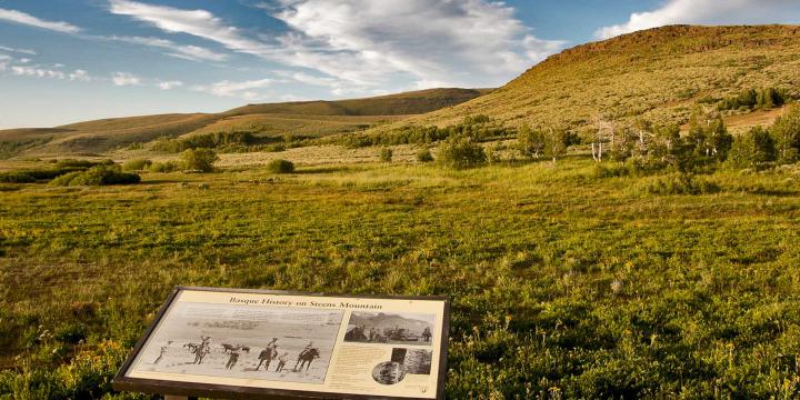
Interpreting Places and Spaces
Interpretive media can dramatically enhance people's experience of place. Learn how to develop and execute a plan that brings the stories tied to places to life.
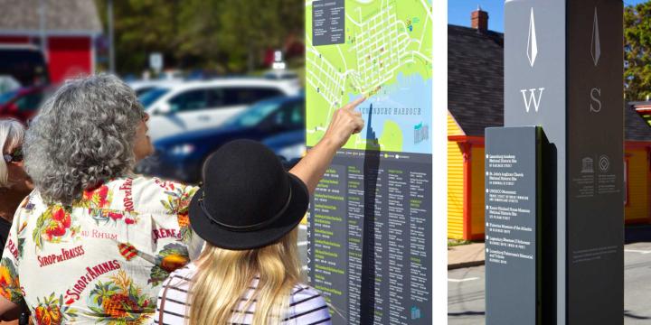
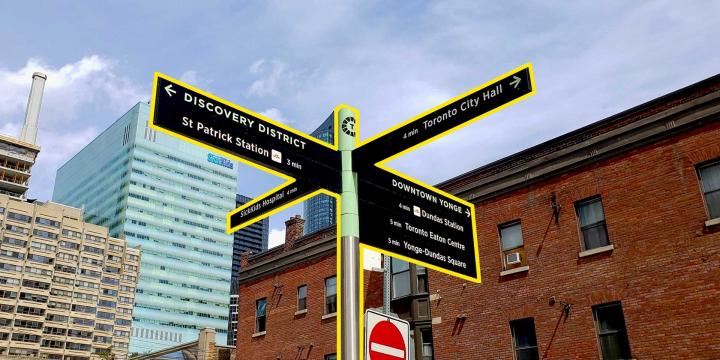
Designing a Wayfinding System
Learn how to create a comprehensive wayfinding signage system for your municipality from start to finish.
Planning a Municipal Wayfinding System
Often overlooked, wayfinding is important for urban design, accessibility, and economic development. Learn the elements of a successful wayfinding system in this course.
Area-Based Location Optimization: Urban Green Space Selection
By the end of this course you will understand the basic principles of area-based location optimization and be able to solve the knapsack, threshold, and shape problems using LINGO software. The course also shows how to map the results of these skills in QGIS.
Calculating the Benefits of Parks, Trails, and Open Space
This course provides examples of how to calculate market and non-market values of parks, trails, and open space, as well as how to identify potential revenue-generating opportunities for long-term maintenance and operation.