Course Info
5 video lessons (48 Mins)
Published
2021-
4.10
Preview Course
Browse Course Chapters
-
1.Introduction
1 min
-
2.The Knapsack Model
15 mins
-
3.The Threshold Model
3 mins
-
4.The Shape Model
7 mins
-
5.Urban Green Space Selection
20 mins
What You Will Learn
- Learn the foundational concepts in area-based location optimization, including the definitions of the knapsack, threshold, and shape problems.
- Apply this knowledge by solving these problems in the context of land acquisition for the development of community gardens.
Course Description
Location optimization problems come in various shapes and sizes, and planners or land developers are frequently faced with the need to acquire a number of land parcels with varying characteristics. This course deals with techniques to optimize the selection of parcels based on criteria to either maximize benefit (e.g., total size of parcels selected) or minimize cost, often with some stipulation on spatial contiguity. These techniques are then applied in the context of an urban greening application, where the planner is tasked with assembling parcels of land to use for community gardens.
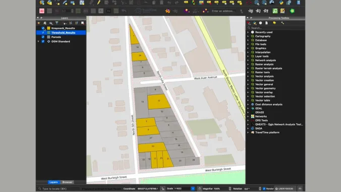
By the end of this course you will understand the basic principles of area-based location optimization and be able to solve the knapsack, threshold, and shape problems using LINGO software. The course also shows how to map the results of these skills in QGIS.
Learn these skills
- Food Systems
- Land Use
- Mapping
- Parks & Recreation
- Site Planning
- QGIS
AICP CM
This course is approved for 0.75 AICP CM Credit.
AIA CES
This is 1 LU.SACPLAN CPD
This course is approved for 1 SACPLAN CPD point.


