

Communications & Media Courses





- AIA CES
- AICP CM

- AIA CES
- AICP CM
- SACPLAN CPD



- AIA CES
- AICP CM

- AIA CES
- AICP CM
- SACPLAN CPD




- CIP
- AIA CES
- AICP CM

- AIA CES
- AICP CM
- SACPLAN CPD

Top Communications & Media Instructors























Master Urban Planning Skills With A Planetizen Courses Subscription.
Sign up
High quality video lessons developed by experts.

Complete course work to receive a certificate from Planetizen.

Test your comprehension with course quizzes.

Access reading lists, articles, and other materials prepared by instructors.
All Communications & Media Courses
ArcGIS Pro Fundamentals and Beginner Analysis
New
This course introduces essential spatial analysis and data management techniques in ArcGIS Pro. You'll learn how to perform spatial queries and selections, symbolize and label data effectively, and utilize data editing and geoprocessing tools.


Digital Accessibility for Planners: Documents - Part 1
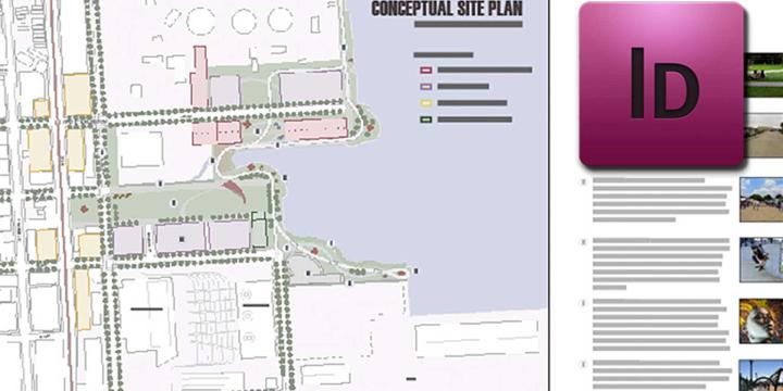
By the end of this course, planners will be able to address common access barriers in documents they produce. The first course will provide an introduction to the topic and initial skills, while the second course will dive into more "advanced" skills.
Walkable City 1: Why Walkability?
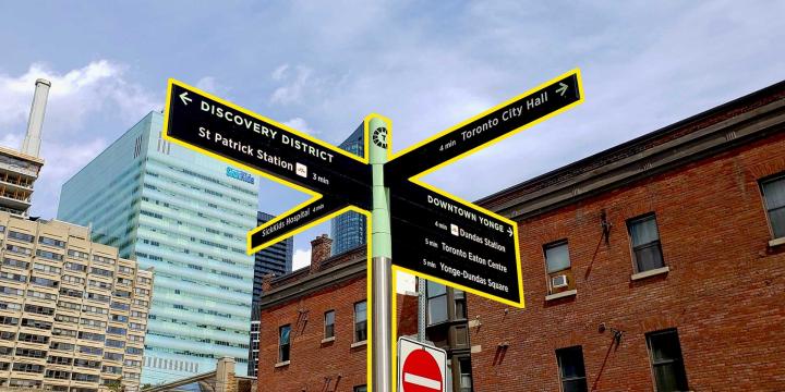
Jeff Speck explains his five principal reasons for building more walkable places — Economics, the Environment, Public Health, Equity, and Social Cohesiveness — arming practitioners with a full range of arguments in favor of pro-walkability planning.
The Good Street: A New Methodology for Balancing Place and Flow
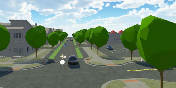
International urban design consultant Lennart Nout explains the Dutch method for balancing conflicts between urban vibrancy and traffic flow and between different modes of transportation.
Principles of Intersection Design
Lennart Nout and Nick Falbo explain how Dutch traffic engineers make decisions around intersection design and dissect the crown jewel of Dutch bike infrastructure: the protected bike lane intersection.
Introduction to the UrbanSim Cloud Platform
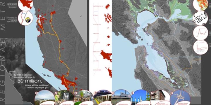
At the end of this course, participants will be acquainted with the UrbanSim forecasting methodology, understanding the features available in the UrbanSim Cloud Platform and the basics of an UrbanSim model at the Census block level.
Transit Service Design 101
In this course, we will review the principles of transit service design, how resources are allocated and accounted for, and using the Remix software platform, we will design and evaluate a new transit route.