

Communications & Media Courses

- CIP
- AICP CM










- AICP CM
- SACPLAN CPD







Top Communications & Media Instructors
























Master Urban Planning Skills With A Planetizen Courses Subscription.
Sign up
High quality video lessons developed by experts.

Complete course work to receive a certificate from Planetizen.

Test your comprehension with course quizzes.

Access reading lists, articles, and other materials prepared by instructors.
All Communications & Media Courses
Walkable City 1: Why Walkability?
Jeff Speck explains his five principal reasons for building more walkable places — Economics, the Environment, Public Health, Equity, and Social Cohesiveness — arming practitioners with a full range of arguments in favor of pro-walkability planning.


The Good Street: A New Methodology for Balancing Place and Flow
International urban design consultant Lennart Nout explains the Dutch method for balancing conflicts between urban vibrancy and traffic flow and between different modes of transportation.
Principles of Intersection Design
Lennart Nout and Nick Falbo explain how Dutch traffic engineers make decisions around intersection design and dissect the crown jewel of Dutch bike infrastructure: the protected bike lane intersection.
Photoshop CC for Planners 4: Creating Visual Simulations
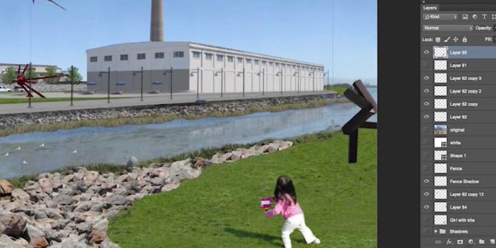
In this course, we'll use the skills and techniques covered in the previous three Photoshop CC courses to create an advanced visual simulation of a re-imagined public space.
Photoshop CC for Planners 1: Basic Functions
Adobe Photoshop CC is widely recognized among design professionals as the premier image editing software, with a number of useful applications for urban planning. This course gives you a step-by-step introduction to the basic tools of Photoshop CC.
Illustrator for Planners - Introduction
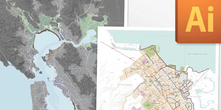
Adobe Illustrator is widely recognized among design professionals as the premier vector drawing software, with many valuable design and mapping applications for urban planning. This course gives you a step-by-step introduction to the basic tools of Illustrator CS5.