

Transportation Courses


- AIA CES
- AICP CM
- CNU-A
- SACPLAN CPD





- AIA CES
- AICP CM
- CNU-A
- SACPLAN CPD


- AICP CM
- SACPLAN CPD


- CIP
- AIA CES
- AICP CM
- SACPLAN CPD

- AIA CES
- AICP CM
- CNU-A
- SACPLAN CPD

- AIA CES
- AICP CM
- SACPLAN CPD



- AIA CES
- AICP CM
- CNU-A
- SACPLAN CPD

- CIP
- AIA CES
- AICP CM
Top Transportation Instructors
























Master Urban Planning Skills With A Planetizen Courses Subscription.
Sign up
High quality video lessons developed by experts.

Complete course work to receive a certificate from Planetizen.

Test your comprehension with course quizzes.

Access reading lists, articles, and other materials prepared by instructors.
All Transportation Courses
Walkable City 3: The Safe Walk (A)
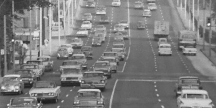
Pedestrian deaths are up 78% since 2009. While car use and size are long-term issues, safer street design — like narrower lanes and two-way roads — can reduce speeding now.


How Zoning Shapes Cities, Communities, and Regions
A better understanding of the basic components of zoning, history and evolution of zoning codes, economic and political goals of plan implementation, and impacts on housing prices and production can inform improved planning outcomes.
Accessory Dwelling Units: Understanding America’s Newest Housing Typology
Explore the latest ADU policy developments from leading American cities, key challenges and opportunities for increasing or limiting ADU production, first-hand examples, and best practices in ADU affordability programs.
Introduction to Planning: Zoning as an Implementation Tool
This course discusses the Zoning Ordinance - its structure, its relationship to the plan and the sometimes confusing procedures through which it is modified and varied.
Introduction to Planning: The Comprehensive Plan
In this course we will discuss the comprehensive plan, sometimes called a “master plan” or a “general plan.”
Photoshop CC for Planners 4: Creating Visual Simulations
In this course, we'll use the skills and techniques covered in the previous three Photoshop CC courses to create an advanced visual simulation of a re-imagined public space.
Photoshop CC for Planners 1: Basic Functions
Adobe Photoshop CC is widely recognized among design professionals as the premier image editing software, with a number of useful applications for urban planning. This course gives you a step-by-step introduction to the basic tools of Photoshop CC.
Illustrator for Planners - Introduction
Adobe Illustrator is widely recognized among design professionals as the premier vector drawing software, with many valuable design and mapping applications for urban planning. This course gives you a step-by-step introduction to the basic tools of Illustrator CS5.