

Transportation Courses

- AIA CES
- AICP CM
- CNU-A
- SACPLAN CPD


- AIA CES
- AICP CM
- CNU-A
- SACPLAN CPD



- AICP CM
- SACPLAN CPD



- CIP
- AIA CES
- AICP CM
- SACPLAN CPD

- AIA CES
- AICP CM
- CNU-A
- SACPLAN CPD

- AIA CES
- AICP CM
- SACPLAN CPD


- AIA CES
- AICP CM
- CNU-A
- SACPLAN CPD

- CIP
- AIA CES
- AICP CM
Top Transportation Instructors
























Master Urban Planning Skills With A Planetizen Courses Subscription.
Sign up
High quality video lessons developed by experts.

Complete course work to receive a certificate from Planetizen.

Test your comprehension with course quizzes.

Access reading lists, articles, and other materials prepared by instructors.
All Transportation Courses
ArcGIS Pro Fundamentals and Beginner Analysis
New
This course introduces essential spatial analysis and data management techniques in ArcGIS Pro. You'll learn how to perform spatial queries and selections, symbolize and label data effectively, and utilize data editing and geoprocessing tools.


Transit Service Design 101
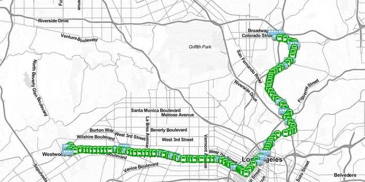
In this course, we will review the principles of transit service design, how resources are allocated and accounted for, and using the Remix software platform, we will design and evaluate a new transit route.
Photoshop CC for Planners 4: Creating Visual Simulations
In this course, we'll use the skills and techniques covered in the previous three Photoshop CC courses to create an advanced visual simulation of a re-imagined public space.