

Equity Courses





- CIP
- AIA CES
- AICP CM
- SACPLAN CPD

- CIP
- AIA CES
- AICP CM
- SACPLAN CPD

- AIA CES
- AICP CM
- CNU-A
- SACPLAN CPD

- CIP
- AIA CES
- AICP CM

- CIP
- AIA CES
- AICP CM
- SACPLAN CPD


- CIP
- AICP CM

- CIP
- AIA CES
- AICP CM
- SACPLAN CPD

- CIP
- AICP CM


- CIP
- AIA CES
- AICP CM
- SACPLAN CPD
- CIP
- AIA CES
- AICP CM
- SACPLAN CPD

- CIP
- AIA CES
- AICP CM
- SACPLAN CPD

- CIP
- AIA CES
- AICP CM
- SACPLAN CPD

Top Equity Instructors









Master Urban Planning Skills With A Planetizen Courses Subscription.
Sign up
High quality video lessons developed by experts.

Complete course work to receive a certificate from Planetizen.

Test your comprehension with course quizzes.

Access reading lists, articles, and other materials prepared by instructors.
All Equity Courses
GIS Walkability Modeling
As the field of planning continues to trend toward multi-modal, sustainable transportation practices, tools to model or analyze the walkability of a given area have grown in number and complexity. In this course, students will learn how to apply ArcMap and the Spatial Analyst extension to model walkability. The course assumes students have a working knowledge of GIS and basic familiarity with Spatial Analyst.


CommunityViz Introduction
In this course you will learn practical applications for CommunityViz, one of the world's premiere GeoDesign and planning scenario tools. Planners, resource managers, local and regional governments, and others use CommunityViz to help them make decisions about development, land use, transportation, conservation and more.
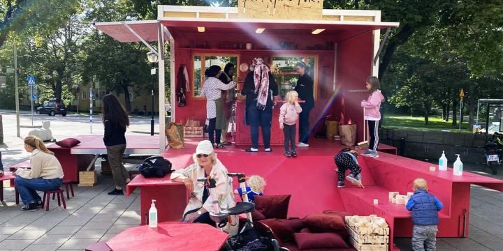
Tactical Urbanism: An Introduction
Developed in conjunction with other movements, the Tactical Urbanism approach allows a host of local actors to test new concepts before making substantial political and financial commitments. Sometimes sanctioned, sometimes not, Tactical Urbanism features the following five characteristics: phased instigation, meeting local planning challenges, realistic and short term, low risk-high gain, and stakeholder capacity building.