

3D Modeling Courses




- AIA CES
- AICP CM
- SACPLAN CPD


- AIA CES
- AICP CM
- CNU-A
- SACPLAN CPD
- AIA CES
- AICP CM
- SACPLAN CPD
- AICP CM
- SACPLAN CPD

- AIA CES
- AICP CM
- CNU-A
- SACPLAN CPD
- AIA CES
- AICP CM
- SACPLAN CPD


- AIA CES
- AICP CM
- CNU-A
- SACPLAN CPD




- AIA CES
- AICP CM
- CNU-A
- SACPLAN CPD
- AICP CM
- SACPLAN CPD
Top 3D Modeling Instructors








Master Urban Planning Skills With A Planetizen Courses Subscription.
Sign up
High quality video lessons developed by experts.

Complete course work to receive a certificate from Planetizen.

Test your comprehension with course quizzes.

Access reading lists, articles, and other materials prepared by instructors.
All 3D Modeling Courses
CommunityViz Introduction
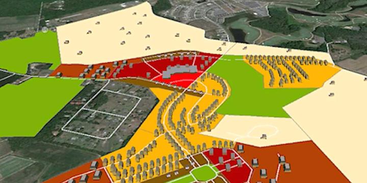
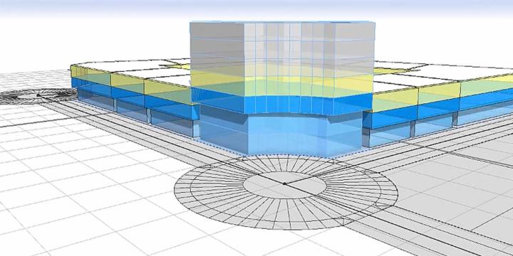
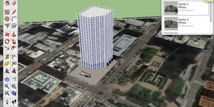
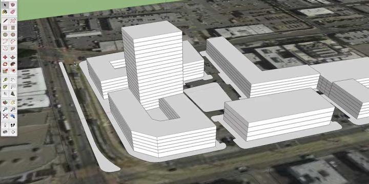
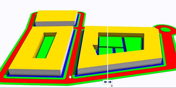
In this course you will learn practical applications for CommunityViz, one of the world's premiere GeoDesign and planning scenario tools. Planners, resource managers, local and regional governments, and others use CommunityViz to help them make decisions about development, land use, transportation, conservation and more.


Bicycle-Friendly Streets: Design Standards
"Bike Friendly Streets: Design Standards" presents examples of cities across the United States and globally redesigning their streets to accommodate and encourage bicycling. From road diets that make room for bike lanes to complete redesigns of streets, cities are stepping up to the challenge of providing a variety of options for the bicyclists in their communities.