

Drawing & Painting Courses







Top Drawing & Painting Instructors





Master Urban Planning Skills With A Planetizen Courses Subscription.
Sign up
High quality video lessons developed by experts.

Complete course work to receive a certificate from Planetizen.

Test your comprehension with course quizzes.

Access reading lists, articles, and other materials prepared by instructors.
All Drawing & Painting Courses
ArcGIS Pro Fundamentals and Beginner Analysis
New
This course introduces essential spatial analysis and data management techniques in ArcGIS Pro. You'll learn how to perform spatial queries and selections, symbolize and label data effectively, and utilize data editing and geoprocessing tools.


US Disability Access Laws for Planners
Explore the key disability rights laws that shape planners' work — including the Americans with Disabilities Act, the Architectural Barriers Act, the Fair Housing Act and the Rehabilitation Act of 1973 — to understand their core provisions.
Walkable City 6: The Interesting Walk
People are most interested in other people — so an appealing walk is one shaped by urban design that hides parking lots, avoids blank walls and monotony, shows signs of human habitation and craftsmanship, celebrates regional character, and offers a human scale.
Walkable City 3: The Safe Walk (A)
Pedestrian deaths are up 78% since 2009. While car use and size are long-term issues, safer street design — like narrower lanes and two-way roads — can reduce speeding now.
Walkable City 2: The Useful Walk
Learn the principal components of “the useful walk,” how zoning can create walkability and boost housing density, and why visual components are key to a walkable city.
Walkable City 1: Why Walkability?
Jeff Speck explains his five principal reasons for building more walkable places — Economics, the Environment, Public Health, Equity, and Social Cohesiveness — arming practitioners with a full range of arguments in favor of pro-walkability planning.
The Good Street: A New Methodology for Balancing Place and Flow
International urban design consultant Lennart Nout explains the Dutch method for balancing conflicts between urban vibrancy and traffic flow and between different modes of transportation.
Just Suburbs: The New Frontier for Equity and Inclusion
Poverty is being displaced from central cities to suburbs. As a response, planners should look to strategies that create mixed-income neighborhoods—a place that everyone can call home.
Incremental Code Reform: Enabling Better Places
The Congress for the New Urbanism’s Project for Code Reform streamlines the zoning code reform process by providing local governments with place-specific incremental zoning code changes that address the most problematic barriers first, build political will, and ultimately create more walkable, prosperous, and equitable places.
Urban Design for Planners 1: Software Tools
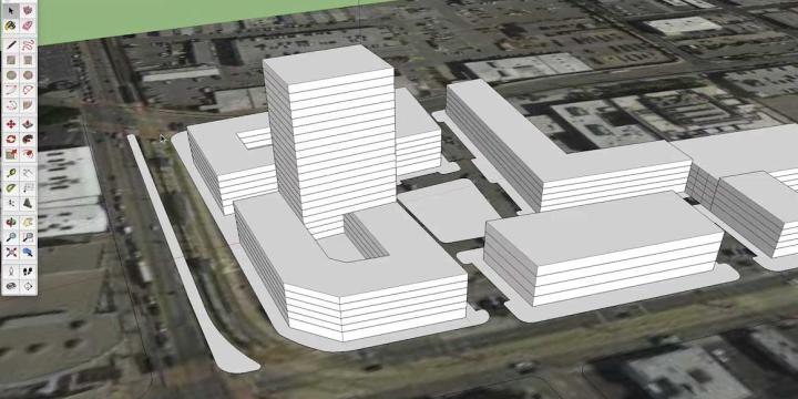
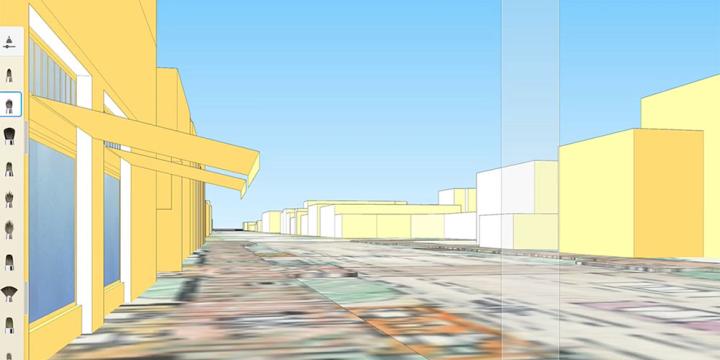
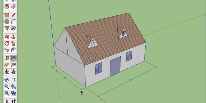
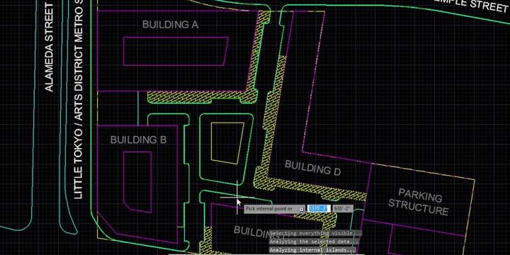
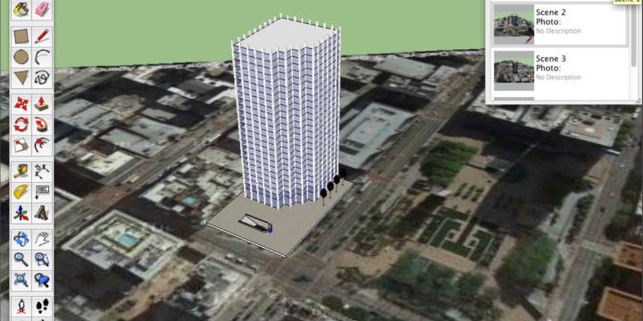
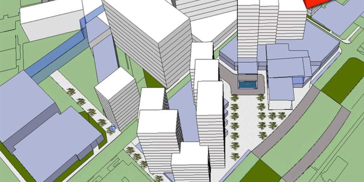
Urban planners and urban designers are interested in building places that embody beauty and hope. In this course, Emily Talen, PhD, FAICP, presents free urban design software tools that can help urban planners and urban designers visualize changes in the built environment to support the overarching goal of creating better places.
Transit Service Design 101
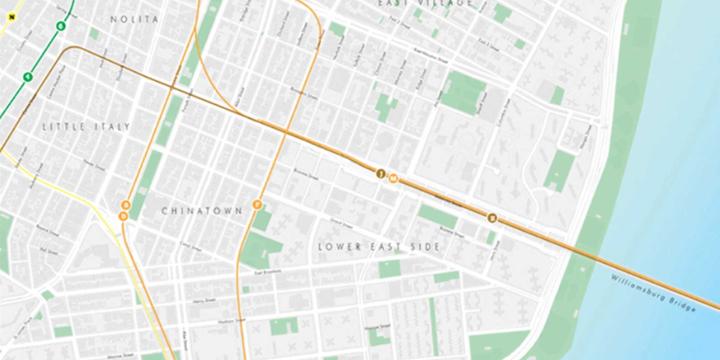
In this course, we will review the principles of transit service design, how resources are allocated and accounted for, and using the Remix software platform, we will design and evaluate a new transit route.
Missing Middle Housing: Meeting the Growing Demand for Walkable Urbanism
Learn about Missing Middle Housing and how to integrate these types into existing neighborhoods.