

Data Analysis Courses









- AIA CES
- AICP CM


- CIP
- AIA CES
- AICP CM
- SACPLAN CPD






- CIP
- AIA CES
- AICP CM

Top Data Analysis Instructors














Master Urban Planning Skills With A Planetizen Courses Subscription.
Sign up
High quality video lessons developed by experts.

Complete course work to receive a certificate from Planetizen.

Test your comprehension with course quizzes.

Access reading lists, articles, and other materials prepared by instructors.
All Data Analysis Courses
MetroQuest Public Involvement Software: In Practice and In Action
This course provides an introduction to working with MetroQuest, what it helps planners achieve, and some of its most important features and capabilities. The course also presents a series of case studies to demonstrate the results MetroQuest has achieved for a wide range of planning projects.


GIS Walkability Modeling
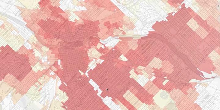
As the field of planning continues to trend toward multi-modal, sustainable transportation practices, tools to model or analyze the walkability of a given area have grown in number and complexity. In this course, students will learn how to apply ArcMap and the Spatial Analyst extension to model walkability. The course assumes students have a working knowledge of GIS and basic familiarity with Spatial Analyst.