

Drawing & Painting Courses




- AICP CM
- CNU-A
- SACPLAN CPD



Top Drawing & Painting Instructors






Master Urban Planning Skills With A Planetizen Courses Subscription.
Sign up
High quality video lessons developed by experts.

Complete course work to receive a certificate from Planetizen.

Test your comprehension with course quizzes.

Access reading lists, articles, and other materials prepared by instructors.
All Drawing & Painting Courses
Transit Planning: The First/Last Mile
This course covers the range of elements needed to boost access to transit, with a focus on door-to-door transportation from a destination to a transit station.


Creating a Low-Carbon, Resilient City
This course introduces strategies for achieving low-carbon, resilient communities.
Calculating the Benefits of Parks, Trails, and Open Space
This course provides examples of how to calculate market and non-market values of parks, trails, and open space, as well as how to identify potential revenue-generating opportunities for long-term maintenance and operation.
Urban Sustainability Appraisal Tools for Planned Neighborhoods and Landscapes
This course is the third in a four-part series on urban sustainability appraisal tools as collaboration platforms and sustainability accelerators for communities.
Urban Sustainability Appraisal Tools for Communities and Existing Neighborhoods
This course is the second in a four-part series on how urban sustainability appraisal tools can serve as collaboration platforms and sustainability accelerators for communities.
Comprehensive Planning for Healthy Communities
This course covers the process of incorporating public health goals into a General Plan or Comprehensive Plan for a region, county, city, town, or neighborhood.
Introduction to Healthy Communities
This course provides an overview of the healthy community movement and the relationship between health and planning.
Defensible Sign Regulations
Communities regulate the characteristics of signs to achieve multiple goals, such as limiting driver distraction, maintaining the aesthetic character of the community, and implementing aspects of related plans. This course will show participants how to draft—and adopt—sign ordinances that accomplish those purposes while conforming with the First Amendment.
Greening the Neighborhood: LEED-ND Globally and v.4 Update
The final course in the "Greening the Neighborhood" series discusses international considerations for LEED-ND and reviews LEED v.4, the first major update to the LEED-ND system since 2009.
Greening the Neighborhood: LEED-ND Metrics
This course describes approaches for making the LEED-ND calculations that will influence the work of the project team throughout the process.
Greening the Neighborhood: LEED-ND Core Concepts
Learn about the six key elements used throughout the submission preparation process: site type, boundary, buildable land, development program, terminology, and mapping.
Greening the Neighborhood: Accelerating Sustainability with LEED-ND
This course reviews options and resources for local governments to leverage LEED-ND by examining case studies of local experiences and results.
Greening the Neighborhood: An Introduction to LEED-ND
This course introduces the LEED-ND (Neighborhood Development) system with a review of its goals and major users and the business case for undertaking ND projects. Also learn about rating system prerequisites and credit requirements, the certification process, and technical resources available for assembling successful certification submissions.
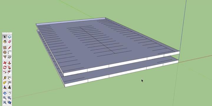
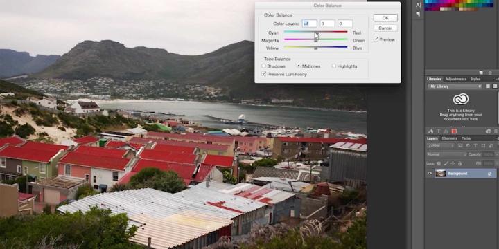
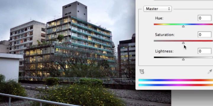
Visual Simulation: Rendering Styles and Presentation with SketchUp
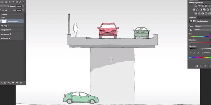
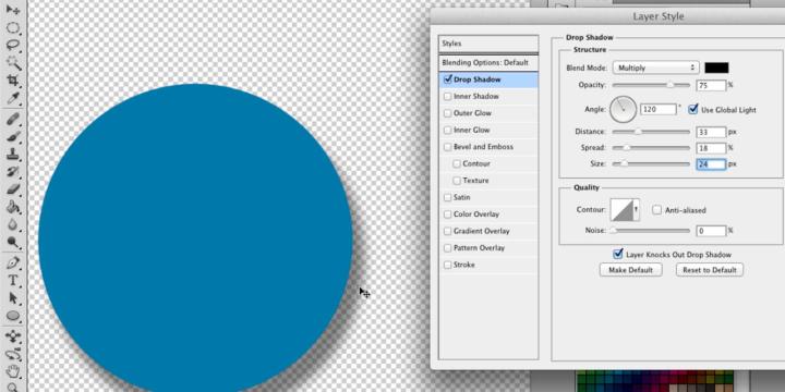
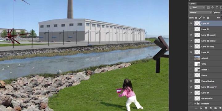
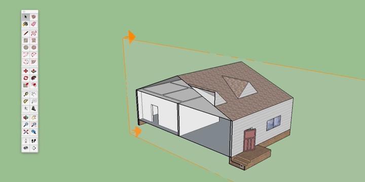
Learn to create finalized drawings in SketchUp that look more hand drawn than photorealistic. Using SketchUp and Adobe Photoshop, this course will help you take more control over final images than possible when only exporting from SketchUp.
Visual Simulation: Advanced Rendering in SketchUp
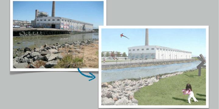
In this course, you'll learn to create an advanced rendering of a SketchUp site model, using a free third-party renderer called Kerkythea to design realistic lighting and shading. Then add components to your rendering in Adobe Photoshop.
Tactical Urbanism: How It's Done
From unsanctioned crosswalks to city-led "Pavement-to-Plaza" programs, instructor Mike Lydon describes the success of short-term, temporary projects in influencing long-term physical and policy changes in cities across the United States and Canada.
GIS Walkability Modeling
As the field of planning continues to trend toward multi-modal, sustainable transportation practices, tools to model or analyze the walkability of a given area have grown in number and complexity. In this course, students will learn how to apply ArcMap and the Spatial Analyst extension to model walkability. The course assumes students have a working knowledge of GIS and basic familiarity with Spatial Analyst.
Disaster Resilience and Recovery Through Land Use Planning
This course focuses on common planning tools and policies for hazard recovery and mitigation. Disaster Resilience is a product of Texas A&M's Hazard Reduction and Recovery Center, focusing principly on storms, hurricanes, water damage, climatological concerns, and flooding in a new era of catastrophes. Topics include social mitigation for vulnerable communities, adoption and implementation of mitigation strategies, and real-world examples of recovery efforts in areas impacted by Hurricane Ike.
Bicycle-Friendly Streets: Design Standards
"Bike Friendly Streets: Design Standards" presents examples of cities across the United States and globally redesigning their streets to accommodate and encourage bicycling. From road diets that make room for bike lanes to complete redesigns of streets, cities are stepping up to the challenge of providing a variety of options for the bicyclists in their communities.
Design in Planning: An Overview
In this course, Planetizen brings you an overview of design in planning. Using real world examples from design guidelines, plans, and manuals, city planner Jason Kambitsis looks at how code, practice and guidelines precipitate design and the form of our cities.