

Drawing & Painting Courses

- AICP CM
- CNU-A
- SACPLAN CPD


Top Drawing & Painting Instructors





Master Urban Planning Skills With A Planetizen Courses Subscription.
Sign up
High quality video lessons developed by experts.

Complete course work to receive a certificate from Planetizen.

Test your comprehension with course quizzes.

Access reading lists, articles, and other materials prepared by instructors.
All Drawing & Painting Courses
GIS Fundamentals: Thematic Maps
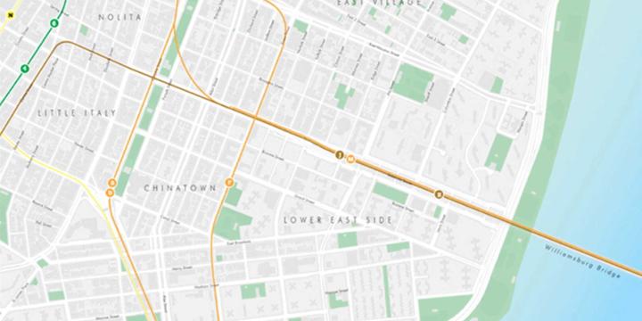
This third GIS Fundamentals course covers the basics of making several kinds of thematic maps, including choropleth, dot density, and proportional symbol maps.


GIS Fundamentals: Projections and Map Design
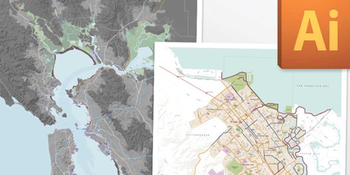
The course will continue core concepts of GIS that began in the first course, including projections, coordinate systems, cartography, and the difference between raster and vector data models.
GIS Fundamentals: An Introduction
This first of a series of courses covering Geographic information Systems (GIS) will guide beginners interested in learning more about GIS, especially with the use of Esri's ArcGIS software.