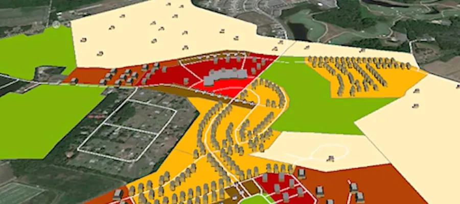
screenshot of map created with communityviz

GeoDesign Using CommunityViz: Buildout and Visualization

This second course in the "GeoDesign with CommunityViz" series shows how the CommunityViz extension of ArcGIS can guide the design, and assess the impacts, of a project.

  • Preview Course PREVIEW

Course Info

  • Duration 14 video lessons (130 Mins)
  • Published Published
    2014
  • 4.07
Play Video

Preview Course Preview Course

Browse Course Chapters

  • Chapter Locked
    1.
    Welcome Back
    Chapter Duration 3 mins
  • Chapter Locked
    2.
    Buildout Theory
    Chapter Duration 8 mins
  • Chapter Locked
    3.
    Build-Out: Suburban
    Chapter Duration 13 mins
  • Chapter Locked
    4.
    Suburban Impacts
    Chapter Duration 8 mins
  • Chapter Locked
    5.
    Suburban Roads
    Chapter Duration 7 mins
  • Chapter Locked
    6.
    Build-Out: Village
    Chapter Duration 12 mins
  • Chapter Locked
    7.
    Build-Out: Village Revisions
    Chapter Duration 10 mins
  • Chapter Locked
    8.
    Build-Out: Village In-Depth
    Chapter Duration 8 mins
  • Chapter Locked
    9.
    Build-Out: Roads
    Chapter Duration 12 mins
  • Chapter Locked
    10.
    Build-Out: Custom Formula
    Chapter Duration 8 mins
  • Chapter Locked
    11.
    Impact Analysis
    Chapter Duration 13 mins
  • Chapter Locked
    12.
    Suitability for Phasing
    Chapter Duration 9 mins
  • Chapter Locked
    13.
    TimeScope
    Chapter Duration 10 mins
  • Chapter Locked
    14.
    Google Earth Export
    Chapter Duration 3 mins

Course Description

This second course in the "GeoDesign with CommunityViz" series builds on topics from the first several chapters of the previous Land Use Designer course. In this course, you'll learn how the CommunityViz extension of ArcGIS can guide the design, and asses the impact, of a project. Specifically, we'll show how the Build-Out, TimeScope, and visualization applications within CommunityViz help complete suitability analysis, buildout analysis, and 3D modeling.

Learn these skills

  • 3D Modeling
  • GIS
  • Land Use
  • Mapping
  • Modeling & Simulation
  • Site Planning
  • Technology
  • ArcGIS
  • CommunityViz

SACPLAN CPD

This course is approved for 1.5 SACPLAN CPD point. 

Meet Your Instructor

Chuck Donley

Chuck Donley

Mr. Donley is an urban and regional planner who specializes in creating CommunityViz applications. He brings 30 years of experience in public and private sector planning working on current and long range planning processes.

Meet Instructor

Master Urban Planning Skills With A Planetizen Courses Subscription.

Try Free Courses
Computer

High quality video lessons developed by experts.

Analytics

Complete course work to receive a certificate from Planetizen.

Certificate

Test your comprehension with course quizzes.

Cloud

Access reading lists, articles, and other materials prepared by instructors.