Course Info
6 video lessons (81 Mins)
Published
2021-
3.86
Preview Course
Browse Course Chapters
-
1.Introduction
2 mins
-
2.Coverage Problems
15 mins
-
3.Solving The Maximal Coverage Location Problem, Part 1
17 mins
-
4.Solving The Maximal Coverage Location Problem, Part 2
16 mins
-
5.Optimizing Location And Service, Part 1
14 mins
-
6.Optimizing Location And Service, Part 2
15 mins
What You Will Learn
- Learn the foundational concepts of the coverage and location-allocation problems, including the location set covering problem (LSCP) and the maximal covering location problem (MCLP).
- Apply this knowledge by solving the MCLP and location-allocation problems in the context of optimal fire station location.
Course Description
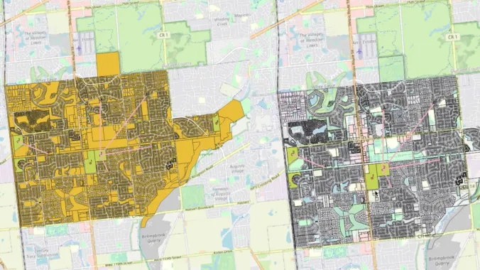
Planners are frequently concerned with siting public facilities to serve the maximum number of people within a maximum given distance or time. Fire stations present a particularly apt example of this type of challenge, and thus will be the subject of this course’s exploration of coverage and location-allocation optimization problems. Coverage optimization problems involve locating a number of facilities (supply) to optimally serve the maximum amount of people (demand). Location-allocation problems involve locating supply sites and simultaneously allocating demand to those sites so the entire system is optimized.
After watching this course, you will understand the basic principles of the coverage and location-allocation problems and be able to solve them using LINGO software and map the results in QGIS.
Learn these skills
- Data Analysis
- Data Visualization
- GIS
- Mapping
- Site Planning
- Technology
- QGIS
AICP CM
This course is approved for 1.25 AICP CM Credit.
AIA CES
This is 1 LU.SACPLAN CPD
This course is approved for 1.5 SACPLAN CPD point.


