Course Info
7 video lessons (59 Mins)
Published
2018-
4.12
Preview Course
Browse Course Chapters
-
1.Introduction
4 mins
-
2.Target Thoroughfares and Parcels
9 mins
-
3.Determining Desired Thoroughfare Dimensions
5 mins
-
4.Another Source for Desired Thoroughfare Dimensions
4 mins
-
5.Investigate Thoroughfare Dimensions
7 mins
-
6.Thoroughfare Redesign, Part 1
10 mins
-
7.Thoroughfare Redesign, Part 2
17 mins
Course Description
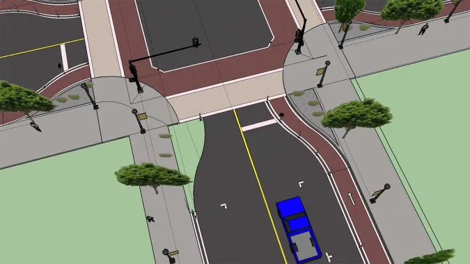
How can urban design interventions calm traffic, improve pedestrian access, and improve safety? In "Urban Design for Planners 6: Streetscape Design," course instructor Emily Talen, PhD, FAICP teaches the tools and techniques required to visualize a streetscape design in a particular location. Talen identifies a set of criteria to identify locations where poor street design and excessive traffic diminish neighborhood quality, and then proposes design strategies that mitigate those issues.
The process of determining an ideal site for a street redesign can be somewhat of a political process. Urban designers, however, are uniquely situated to contribute to a productive conversation about which streets should be prioritized and which urban design interventions should be applied.
In this course, students will learn how to identify thoroughfares where traffic calming is a high priority, identify desired thoroughfare dimensions based on urban context, and redesign an existing thoroughfare. Talen provides resources for determining desired dimensions of thoroughfares and tools for visualizing thoroughfare redesign. Building off of other courses in the "Urban Design for Planners" track, Talen suggests an approach to prioritization that employs demographic data (e.g., census data) as well as block-level metrics (e.g., intensity-levels, transect-levels, and the position of busy intersections).
Learn these skills
- 3D Modeling
- GIS
- Mapping
- Modeling & Simulation
- Technology
- Urban Design
AICP CM
This course is approved for 1 AICP CM credit.
AIA CES
This is 1 LU.CNU-A
SACPLAN CPD
This course is approved for 1 SACPLAN CPD point.


