Course Info
8 video lessons (66 Mins)
Published
2018-
4.19
Preview Course
Browse Course Chapters
-
1.Introduction
5 mins
-
2.Levels of Mix
9 mins
-
3.Design Strategy #1 for Low Housing Mix
9 mins
-
4.Design Strategy #2 for Low Housing Mix
14 mins
-
5.Design Strategies for High Mix Areas, Part 1
4 mins
-
6.Design Strategies for High Mix Areas, Part 2
9 mins
-
7.Finding Low Access and High Need
9 mins
-
8.Infill Strategies
4 mins
Course Description
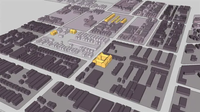
When it comes to a mix of housing types and uses, no two neighborhoods are alike. In this course, viewers will learn how to use census and parcel data to identify areas that have low or high mix of land use diversity and propose design interventions that support and enhance a healthy mix. In this third course in the "Urban Design for Planners" track, course instructor Emily Talen, PhD, FAICP provides step-by-step instruction on how to use data to visualize and map the configuration of mix and density in neighborhoods and along commercial corridors.
Viewers will learn the key points of demographic data that inform urban design that achieve the highest impact in communities. By visually merging various layers of data (e.g., census data, parcel variation, demographic information), viewers will begin to see distinct patterns of land use in a given area. With some careful analysis, viewers can propose interventions that contribute to an identified character of mix.
The course also shows how to consider proximity, a resident's ability to locally access the offerings of community resources. Making use of census variables, Talen defines the ideal locations for design interventions based on proximity to a resource center.
By the end of this course, viewers will be able to compare areas for access to the most desirable facilities and locations and propose corresponding infill strategies.
Learn these skills
- 3D Modeling
- Data Visualization
- GIS
- Mapping
- Modeling & Simulation
- Technology
- Urban Design
AICP CM
This course is approved for 1 AICP CM credit.
AIA CES
This is 1 LU.CNU-A
SACPLAN CPD
This course is approved for 1 SACPLAN CPD point.


