Course Info
7 video lessons (46 Mins)
Published
2012-
4.28
Preview Course
Browse Course Chapters
-
1.Introduction
1 min
-
2.Existing Walkability Tools & Game Plan
4 mins
-
3.Preparing Datasets 1: Assigning Values
21 mins
-
4.Preparing Datasets 2: Creating Friction Grids
5 mins
-
5.Running A Walkshed Analysis
4 mins
-
6.Post-processing Results
9 mins
-
7.Summary
1 min
Course Description
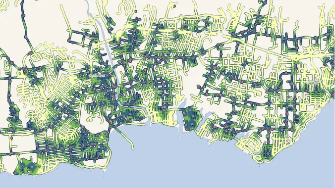
As the field of planning continues to trend toward multi-modal, sustainable transportation practices, tools to model or analyze the walkability of a given area have grown in number and complexity. In this course, students will learn how to apply ArcMap and the Spatial Analyst extension to model walkability. The course assumes students have a working knowledge of GIS and basic familiarity with Spatial Analyst.
Learn these skills
- Data Visualization
- GIS
- Mapping
- Pedestrian Planning
- Technology
- Urban Design
- Walkability
- WalkShed
- ArcGIS
SACPLAN CPD
This course is approved for 1 SACPLAN CPD point.


