

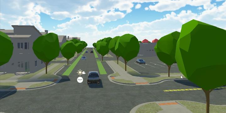
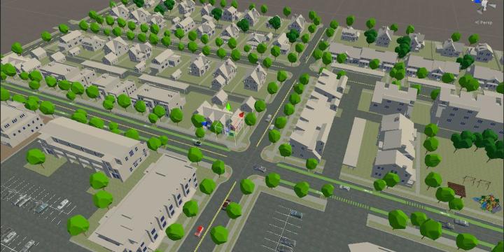
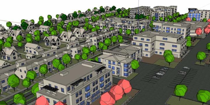
Planners frequently rely on models and simulation to convey their vision to the public, city officials, and other stakeholders. With the advent of virtual reality, planners now have a new tool that can more vividly and precisely communicate their plans. Learn the basics of VR creation and how planners can integrate it into their process.
Virtual Reality Courses
74 Mins
- AIA CES
- AICP CM
- SACPLAN CPD
Top Virtual Reality Instructors

Chase Mullen
Chase is the Director of Design Visualization at MIG. With an acute eye for graphics and...

David Rouse
David is a consultant, educator, and author with over 40 years of experience in urban and...
Master Urban Planning Skills With A Planetizen Courses Subscription.
Sign up
High quality video lessons developed by experts.

Complete course work to receive a certificate from Planetizen.

Test your comprehension with course quizzes.

Access reading lists, articles, and other materials prepared by instructors.
All Virtual Reality Courses
GIS Walkability Modeling
Instructor: Steph A. Nelson
As the field of planning continues to trend toward multi-modal, sustainable transportation practices, tools to model or analyze the walkability of a given area have grown in number and complexity. In this course, students will learn how to apply ArcMap and the Spatial Analyst extension to model walkability. The course assumes students have a working knowledge of GIS and basic familiarity with Spatial Analyst.

